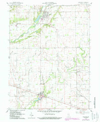
1960 Map of Carthage
USGS Topo · Published 1988About this map
Carthage sits at the northern end of this central Indiana landscape, defined by its position along the Blue River. The town's grid is flanked by Riverside Cemetery and a local Gaging Station, illustrating a settlement focused on the river's path. Moving south toward Arlington, the terrain is marked by a dense concentration of Gas Wells, indicating the region's active energy extraction in the mid-20th century.
Find a feature on this map
57 named features on this map. Tap any name to fly to it.
Don’t see what you’re looking for? This feature index may not catch every label — zoom into the map to look around manually.
Map Details
Editions of this 1960 Carthage Map
2 editions found
Other maps of this area

1950 · Dunreith
USGS Topo · 1:24,000

1953 · Cincinnati
USGS Topo · 1:250,000

1956 · Cleveland
USGS Topo · 1:24,000

1956 · Morristown
USGS Topo · 1:24,000

1956 · Rays Crossing
USGS Topo · 1:24,000

1957 · Cincinnati
USGS Topo · 1:250,000

1959 · Rushville
USGS Topo · 1:24,000

1959 · Mays
USGS Topo · 1:24,000
1960 · Manilla
USGS Topo · 1:24,000
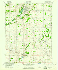
1960 · Carthage
USGS Topo · 1:24,000