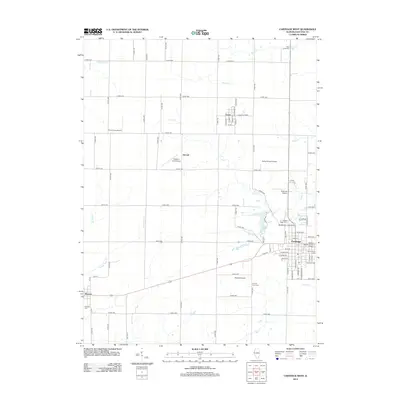
2012 Map of Carthage West
USGS Topo · Published 2012About this map
Carthage serves as the focal point of this Hancock County landscape, where the street grid of the town center meets the surrounding agricultural expanse. The presence of Robert Morris Junior College and several well-established burial grounds, including Moss Ridge Cem and the Old Carthage Cem, indicates the area's long-standing role as a local educational and civic hub. To the north and west, the smaller settlements of Ferris, Elvaston, and McCall are connected by a rigorous network of county roads, such as Co RD-1800, which cut across the drainages of Rock Cr and Long Cr. A peculiar concentration of private aviation sites, including the uniquely named Plain Crazy Airport and Hanks Hangar Airport, suggests a specialized use of the flat terrain in this part of Illinois. The map also captures the County Farm Cem near Martins Airport, a site of significant interest for those researching local social history.
Find a feature on this map
76 named features on this map. Tap any name to fly to it.
Don’t see what you’re looking for? This feature index may not catch every label — zoom into the map to look around manually.
Map Details
Editions of this 2012 Carthage West Map
This is the sole edition of this map. No revisions or reprints were ever made.
Other maps of this area

1932 · Lomax
USGS Topo · 1:62,500

1933 · Carthage
USGS Topo · 1:62,500

1936 · Keokuk
USGS Topo · 1:62,500

1936 · Fort Madison
USGS Topo · 1:62,500

1937 · Carthage
USGS Topo · 1:62,500

1937 · Lomax
USGS Topo · 1:62,500

1950 · Keokuk
USGS Topo · 1:62,500

1958 · Burlington
USGS Topo · 1:250,000

1961 · Burlington
USGS Topo · 1:250,000

1963 · Burlington
USGS Topo · 1:250,000