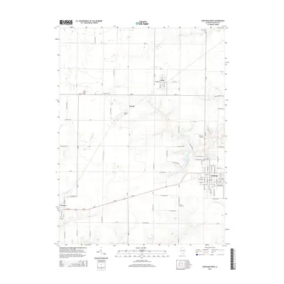
2015 Map of Carthage West
USGS Topo · Published 2015About this map
Carthage serves as the central hub for this portion of Hancock County, surrounded by a landscape defined by organized rural sections and a network of creeks. Significant genealogical interest is found in the many burial grounds documented across the countryside, including Old Carthage Cem, Moss Ridge Cem, and County Farm Cem. The map illustrates the transition from the structured street grid of the county seat to smaller surrounding settlements like Ferris, McCall, and Elvaston.
Find a feature on this map
93 named features on this map. Tap any name to fly to it.
Don’t see what you’re looking for? This feature index may not catch every label — zoom into the map to look around manually.
Map Details
Editions of this 2015 Carthage West Map
This is the sole edition of this map. No revisions or reprints were ever made.
Other maps of this area

1932 · Lomax
USGS Topo · 1:62,500

1933 · Carthage
USGS Topo · 1:62,500

1936 · Keokuk
USGS Topo · 1:62,500

1936 · Fort Madison
USGS Topo · 1:62,500

1937 · Carthage
USGS Topo · 1:62,500

1937 · Lomax
USGS Topo · 1:62,500

1950 · Keokuk
USGS Topo · 1:62,500

1958 · Burlington
USGS Topo · 1:250,000

1961 · Burlington
USGS Topo · 1:250,000

1963 · Burlington
USGS Topo · 1:250,000