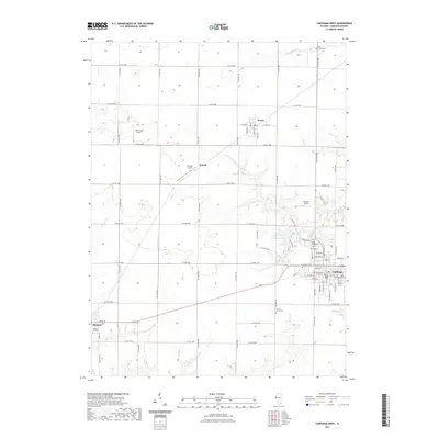
2021 Map of Carthage West
USGS Topo · Published 2021About this map
The Hancock County Courthouse serves as the central landmark for this Illinois landscape, which centers on the city of Carthage. This modern-era survey shows the westward expansion of the county seat toward Carthage Lake, illustrating how the town has grown while maintaining its traditional grid. Notable for genealogists, the map identifies several local burial grounds including Moss Ridge Cem, Calvary Cem, and the Old Carthage Cem located near the town center. The surrounding rural landscape is marked by smaller settlements like Ferris, McCall, and Elvaston, interconnected by a dense network of county roads. Aviation history is present through several small landing strips such as Plain Crazy Airport and Schilson Field, while the hydrology is dominated by the meandering paths of Bear Cr and Rock Creek in the northern and southern sectors.
Find a feature on this map
74 named features on this map. Tap any name to fly to it.
Don’t see what you’re looking for? This feature index may not catch every label — zoom into the map to look around manually.
Map Details
Editions of this 2021 Carthage West Map
This is the sole edition of this map. No revisions or reprints were ever made.
Other maps of this area

1932 · Lomax
USGS Topo · 1:62,500

1933 · Carthage
USGS Topo · 1:62,500

1936 · Keokuk
USGS Topo · 1:62,500

1936 · Fort Madison
USGS Topo · 1:62,500

1937 · Carthage
USGS Topo · 1:62,500

1937 · Lomax
USGS Topo · 1:62,500

1950 · Keokuk
USGS Topo · 1:62,500

1958 · Burlington
USGS Topo · 1:250,000

1961 · Burlington
USGS Topo · 1:250,000

1963 · Burlington
USGS Topo · 1:250,000