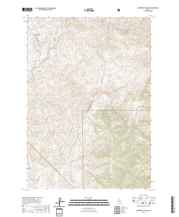
2023 Map of Cartwright Canyon
USGS Topo · Published 2023About this map
Boise National Forest encompasses the southeastern portion of this landscape, where the rugged terrain of the Boise Front transitions into deep drainages. The map highlights the interface between modern development at Avimor and the traditional ranching and recreational lands of the foothills. Distinctive landmarks such as Bread Loaf Rock and the Summit Ridge Ranch Airstrip characterize the high ground along Summit Ridge, while a complex network of waterways, including Cartwright Creek and Shafer Creek, carve through the canyons. This area has evolved into a significant outdoor destination, evidenced by the inclusion of several recreation paths like the Stack Rock Trl and Mr. Big Trl. The boundary between Boise and Ada counties cuts across the southwestern corner, following the ridge lines that separate these two growing Idaho regions.
Find a feature on this map
37 named features on this map. Tap any name to fly to it.
Don’t see what you’re looking for? This feature index may not catch every label — zoom into the map to look around manually.
Map Details
Editions of this 2023 Cartwright Canyon Map
This is the sole edition of this map. No revisions or reprints were ever made.
Other maps of this area

1892 · Boise
USGS Topo · 1:125,000

1897 · Boise
USGS Topo · 1:125,000

1949 · Robie Creek
USGS Topo · 1:24,000

1953 · Eagle
USGS Topo · 1:24,000

1953 · Montour
USGS Topo · 1:62,500

1954 · Boise North
USGS Topo · 1:24,000

1954 · Boise
USGS Topo · 1:62,500

1955 · Boise
USGS Topo · 1:250,000

1957 · Cartwright Canyon
USGS Topo · 1:24,000

1957 · Horseshoe Bend
USGS Topo · 1:24,000