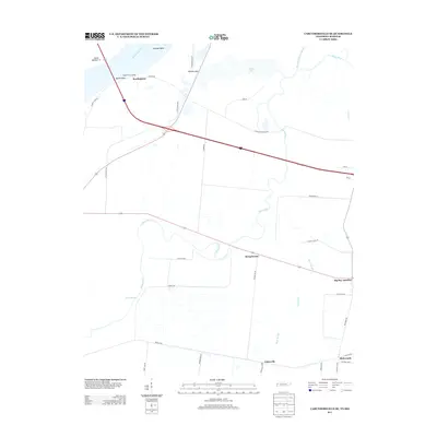
2013 Map of Caruthersville SE
USGS Topo · Published 2013About this map
The Mississippi River and its intricate drainage network define this corner of Dyer County, where Linwood Bend and Island Number 17 mark the shifting border between Tennessee and Missouri. The landscape is dominated by the meandering Obion River, which feeds into a series of wetlands and backwaters including Rush Slough, Rock Slough, and Whites Lake. This area reflects a deep connection to the floodplain, with settlements such as Tylersville, Mengelwood, and Boothpoint positioned near the protective Tennemo Levee Rd. The local road system, featuring names like Dummyline Rd and Pioneer Farm Rd, suggests a history tied to agricultural development and early timber or rail transport in the river bottoms. Small crossroads like Big Boy Junction and Richwoods serve as navigation points within a grid of farm lanes, including Pig Ln and Blackberry Ln, that crisscross the low-lying terrain.
Find a feature on this map
40 named features on this map. Tap any name to fly to it.
Don’t see what you’re looking for? This feature index may not catch every label — zoom into the map to look around manually.
Map Details
Editions of this 2013 Caruthersville SE Map
This is the sole edition of this map. No revisions or reprints were ever made.
Other maps of this area

1939 · Dyersburg
USGS Topo · 1:62,500

1939 · Hales Point
USGS Topo · 1:62,500

1939 · Caruthersville
USGS Topo · 1:62,500

1939 · Halls
USGS Topo · 1:62,500

1951 · Caruthersville
USGS Topo · 1:62,500

1952 · Hales Point
USGS Topo · 1:62,500

1952 · Dyersburg
USGS Topo · 1:24,000

1952 · Miston
USGS Topo · 1:24,000

1952 · Fowlkes
USGS Topo · 1:24,000

1956 · Dyersburg
USGS Topo · 1:250,000