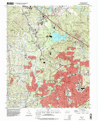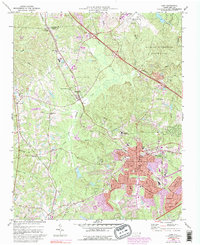
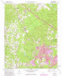
1973 Map of Cary
USGS Topo · Published 1992About this map
Research Triangle Park and the Raleigh-Durham Airport anchor the northern landscape of this survey, illustrating the rapid modernization of the Research Triangle region. The transition from rural to suburban is evident as the growing footprint of Cary expands along the Southern and CSX rail lines. While early settlements like Morrisville, Carpenter, and Clegg appear alongside historic church sites such as Sorrels Grove Ch and Shiloh Ch, new developments and the William B Umstead State Park boundary mark a shifting land use. Networked by roads like Maynard Rd, the map details a community on the move, where old family cemeteries like Reedy Creek Cem and Hill Crest Cem remain as quiet witnesses to the burgeoning industrial and academic hub nearby.
Find a feature on this map
46 named features on this map. Tap any name to fly to it.
Don’t see what you’re looking for? This feature index may not catch every label — zoom into the map to look around manually.
Map Details
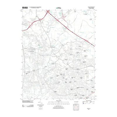
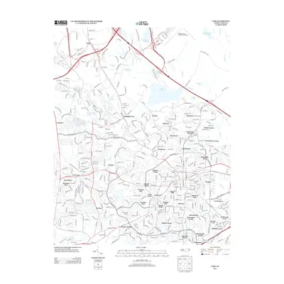
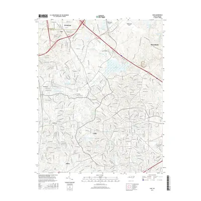
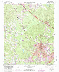
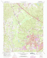
Editions of this 1973 Cary Map
5 editions found
Historical Maps of Raleigh Through Time
7 maps found