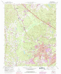
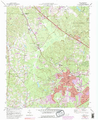
1973 Map of Cary
USGS Topo · Published 1992About this map
The town of Cary sits at a transitional moment in this survey, showing the expansion of the Research Triangle as residential subdivisions begin to press into the surrounding rural landscape. Historically significant settlements like Morrisville and Carpenter are well-defined along the Southern and CSX rail lines, which provided the backbone for the local economy before the rise of the Research Triangle Park and the Raleigh-Durham Airport.
Find a feature on this map
48 named features on this map. Tap any name to fly to it.
Don’t see what you’re looking for? This feature index may not catch every label — zoom into the map to look around manually.
Map Details
Editions of this 1973 Cary Map
5 editions found
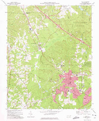
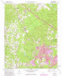
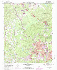
Other maps of this area

1943 · Durham South
USGS Topo · 1:62,500

1943 · Raleigh
USGS Topo · 1:62,500

1951 · Raleigh
USGS Topo · 1:62,500

1951 · Durham South
USGS Topo · 1:62,500

1953 · Raleigh
USGS Topo · 1:250,000

1954 · Raleigh
USGS Topo · 1:250,000

1964 · Lake Wheeler
USGS Topo · 1:24,000

1964 · Garner
USGS Topo · 1:62,500
1967 · Bayleaf
USGS Topo · 1:24,000

1968 · Raleigh West
USGS Topo · 1:24,000