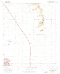
1965 Map of Casa Grande East
USGS Topo · Published 1975About this map
Casa Grande serves as the focal point of this 1960s Arizona survey, anchored by institutional landmarks such as Union High Sch, Evergreen Sch, and the local Hospital. The landscape is defined by the stark transition from the grid-patterned valley floor to the rising Sacaton Mountains in the northeast, where Signal Peak and Black Butte overlook the desert floor. The Gila River Indian Reservation Boundary cuts across the northern landscape, where the Gila River itself flows. Transportation and water management are critical features of this era, shown through an extensive network of straight-line section roads like Val Vista Blvd and Mc Cartney Road, alongside the North Branch Santa Cruz Wash. The map also captures specific local developments including Lake in the Desert and several city parks, illustrating the mid-century expansion of this desert community.
Find a feature on this map
25 named features on this map. Tap any name to fly to it.
Don’t see what you’re looking for? This feature index may not catch every label — zoom into the map to look around manually.
Map Details
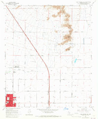
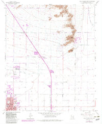
Editions of this 1965 Casa Grande East Map
3 editions found
Other maps of this area

1907 · Sacaton
USGS Topo · 1:62,500

1914 · Gila Butte
USGS Topo · 1:62,500

1917 · Gila Butte
USGS Topo · 1:62,500

1922 · Casa Grande
USGS Topo · 1:62,500

1922 · Signal Peak
USGS Topo · 1:62,500

1924 · Signal Peak
USGS Topo · 1:62,500

1924 · Casa Grande
USGS Topo · 1:62,500

1952 · Gila Butte SE
USGS Topo · 1:24,000

1952 · Gila Butte
USGS Topo · 1:62,500

1954 · Mesa
USGS Topo · 1:250,000