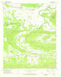
1972 Map of Casa
USGS Topo · Published 1974About this map
The Chicago Rock Island and Pacific railroad forms a distinct industrial corridor across the southern landscape of this 1970s survey, connecting the settlement of Casa to the surrounding hills. To the north, the Petit Jean River meanders through wide floodplains, including Carden Bottom and the wetlands of the Holla Bend National Wildlife Refuge. The map reveals a dispersed rural pattern of small settlements like Cotton Town, New Neely, and Liberty Hall, which are anchored by local landmarks such as Harris Cem and Sweet Home Ch.
Find a feature on this map
41 named features on this map. Tap any name to fly to it.
Don’t see what you’re looking for? This feature index may not catch every label — zoom into the map to look around manually.
Map Details
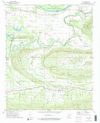
Editions of this 1972 Casa Map
2 editions found
Other maps of this area

1888 · Dardanelle #4
USGS Topo · 1:62,500

1889 · Morrilton No. 3
USGS Topo · 1:62,500

1890 · Benton
USGS Topo · 1:125,000

1890 · Hot Springs
USGS Topo · 1:125,000

1890 · Dardanelle
USGS Topo · 1:125,000

1892 · Morrillton
USGS Topo · 1:125,000

1894 · Morrillton
USGS Topo · 1:125,000

1894 · Hot Springs
USGS Topo · 1:125,000

1894 · Benton
USGS Topo · 1:125,000

1955 · Little Rock
USGS Topo · 1:250,000