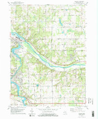
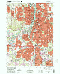
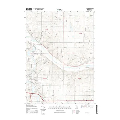
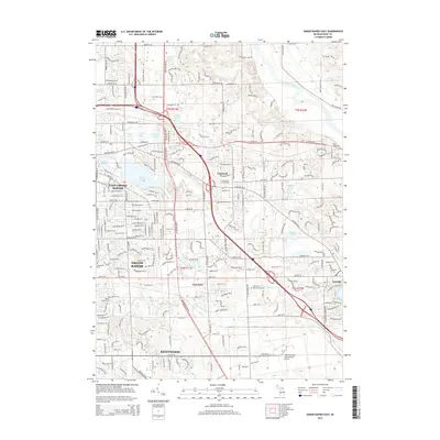
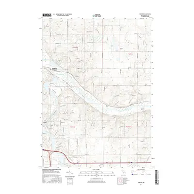
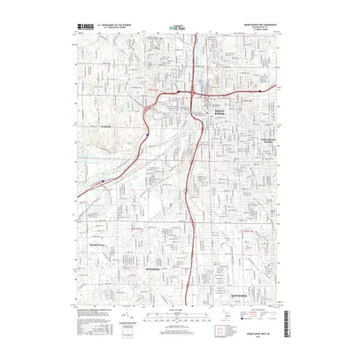
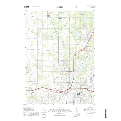
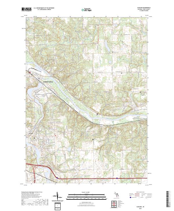
1978 Map of Cascade
USGS Topo · Published 1979About this map
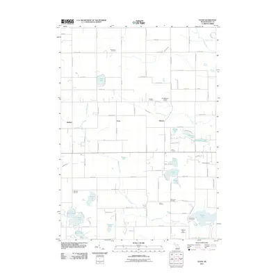
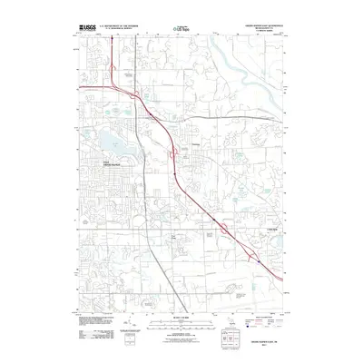
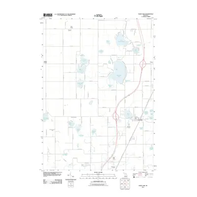
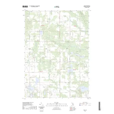
The confluence of the Thornapple River and the Grand River defines this portion of Kent County in the late 1970s. The settlement of Ada sits at this strategic junction, featuring a prominent Covered Bridge and a mix of residential growth and preserved riverside parks like Chief Hazy Cloud County Park. The landscape transition from the village center into the township of Vergennes reveals a rural character shaped by agriculture and gravel extraction, evidenced by numerous Gravel Pits scattered across the township lines.
Find a feature on this map
52 named features on this map. Tap any name to fly to it.
Don’t see what you’re looking for? This feature index may not catch every label — zoom into the map to look around manually.
Map Details
Editions of this 1978 Cascade Map
2 editions found
Historical Maps of Cascade Charter Township Through Time
43 maps found
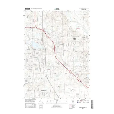
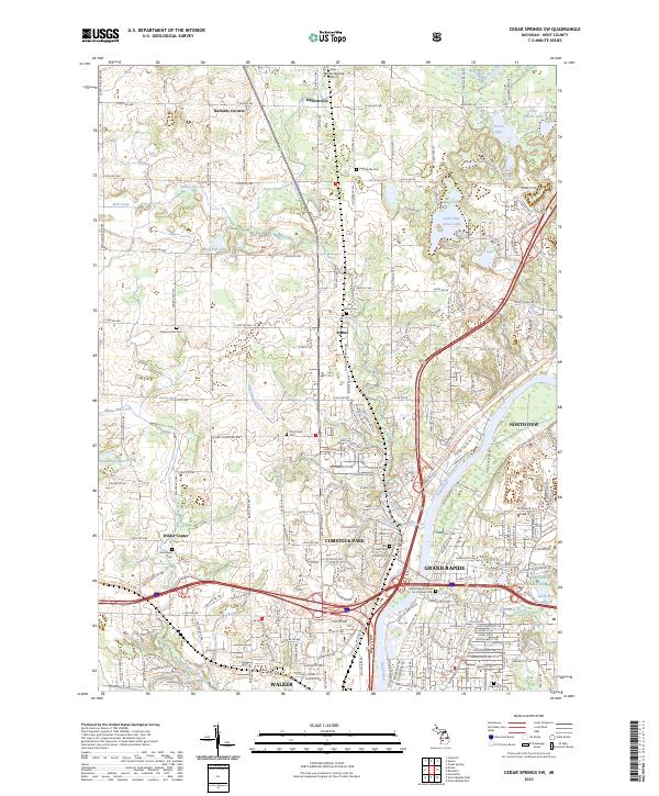
1967 Cedar Springs SW
Kent County, MI
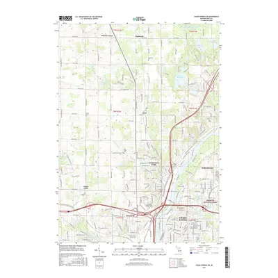
1967 Grand Rapids East
Kent County, MI
1967 Grand Rapids West
Kent County, MI
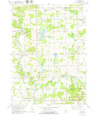
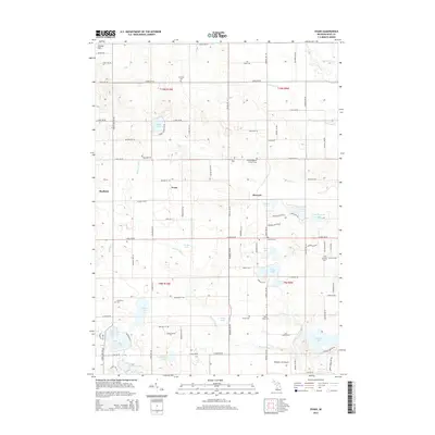
1972 Evans
Kent County, MI
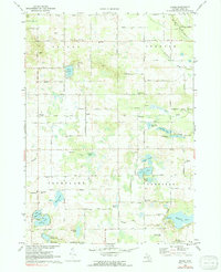
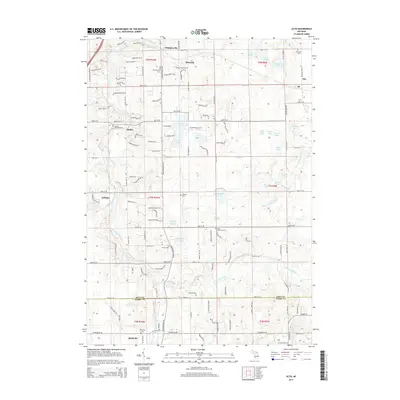
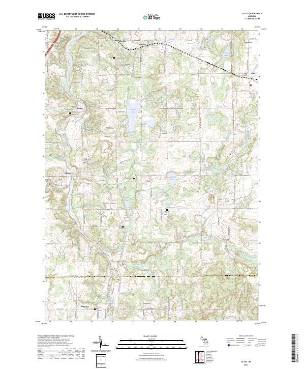
1978 Alto
Kent County, MI
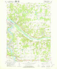
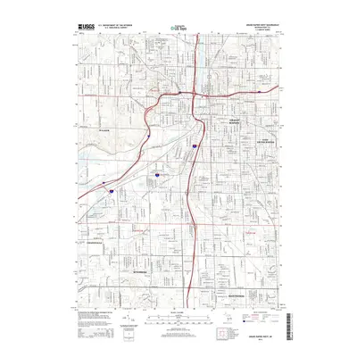
1978 Cascade
Kent County, MI
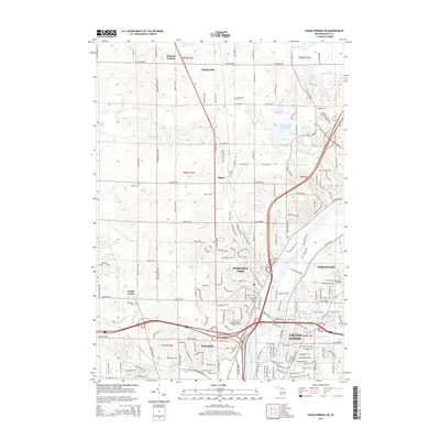
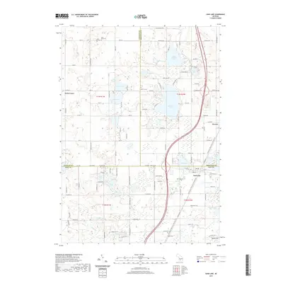
1985 Sand Lake
Kent County, MI
1996 Grand Rapids West
Kent County, MI
2011 Alto
Kent County, MI
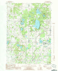
2011 Cascade
Kent County, MI
2011 Cedar Springs SW
Kent County, MI
2011 Evans
Kent County, MI
2011 Grand Rapids East
Kent County, MI
2011 Grand Rapids West
Kent County, MI
2011 Sand Lake
Kent County, MI
2014 Alto
Kent County, MI
2014 Cascade
Kent County, MI
2014 Cedar Springs SW
Kent County, MI
2014 Evans
Kent County, MI
2014 Grand Rapids East
Kent County, MI
2014 Grand Rapids West
Kent County, MI
2014 Sand Lake
Kent County, MI
2017 Alto
Kent County, MI
2017 Cascade
Kent County, MI
2017 Cedar Springs SW
Kent County, MI
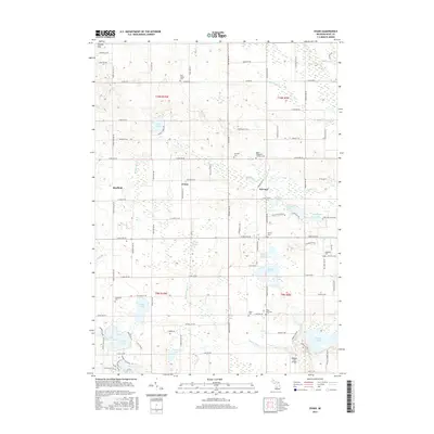
2017 Evans
Kent County, MI
2017 Grand Rapids East
Kent County, MI
2017 Grand Rapids West
Kent County, MI
2017 Sand Lake
Kent County, MI
2019 Alto
Kent County, MI
2019 Cascade
Kent County, MI
2019 Cedar Springs SW
Kent County, MI
2019 Evans
Kent County, MI
2019 Grand Rapids East
Kent County, MI
2019 Grand Rapids West
Kent County, MI
2019 Sand Lake
Kent County, MI
2023 Alto
Kent County, MI
2023 Cascade
Kent County, MI
2023 Cedar Springs SW
Kent County, MI
2023 Evans
Kent County, MI
2023 Grand Rapids East
Kent County, MI
2023 Grand Rapids West
Kent County, MI
2023 Sand Lake
Kent County, MI
Featured Locations
- Cascade Charter Township, MI
- Vergennes Township, MI
- Lowell Charter Township, MI
- Ada Township, MI
- Cascade, Cascade Charter Township