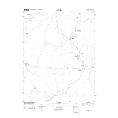
2011 Map of Cascade
USGS Topo · Published 2011About this map
Twelvemile and the Old Mount Pisgah Cemetery anchor the northwest corner of this Madison County landscape, where the Ozark terrain is defined by a dense network of hollows and creek forks. The eastern portion of the map follows the winding course of East Fork Big Creek and Big Creek, connecting small communities like Buckhorn and Gravelton. This area reveals a history of land management and local industry, marked by the McKelvey Dam and Doll Lake Dam, as well as the lonely Cascade Lookout Tower standing watch over the timbered ridges.
Find a feature on this map
61 named features on this map. Tap any name to fly to it.
Don’t see what you’re looking for? This feature index may not catch every label — zoom into the map to look around manually.
Map Details
Editions of this 2011 Cascade Map
This is the sole edition of this map. No revisions or reprints were ever made.
Other maps of this area

1930 · Coldwater
USGS Topo · 1:62,500

1933 · Marquand
USGS Topo · 1:62,500

1934 · Greenville
USGS Topo · 1:62,500

1935 · Zalma
USGS Topo · 1:62,500

1938 · Marquand
USGS Topo · 1:62,500

1939 · Greenville
USGS Topo · 1:62,500

1939 · Zalma
USGS Topo · 1:62,500

1949 · Rolla
USGS Topo · 1:250,000

1949 · Coldwater
USGS Topo · 1:62,500

1953 · Rolla
USGS Topo · 1:250,000