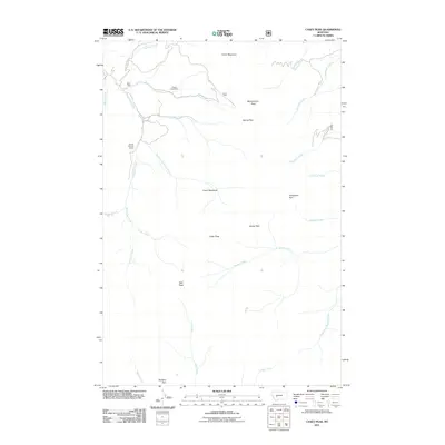
2011 Map of Casey Peak
USGS Topo · Published 2011About this map
Casey Peak and High Peak dominate this high-altitude terrain in Jefferson County, where the landscape is defined by its drainage networks and legacy of resource extraction. The area's industrial history is marked by the Crystal Creek Mine and the NW SE Section 9 Mine, both situated near the headwaters of the northern creeks. A series of designated open spaces, including Horsethief Park, Spring Park, and the uniquely named Airplane Park, are scattered among the ridges, suggesting a landscape used for both grazing and recreation. The primary corridor for access is McClellan Creek Rd, which follows the winding course of McClellan Creek. Water moves in every direction from these summits, feeding into Beaver Creek and Spokane Creek, while smaller tributaries like North Pole Creek and Sawmill Creek carve out the eastern slopes.
Find a feature on this map
31 named features on this map. Tap any name to fly to it.
Don’t see what you’re looking for? This feature index may not catch every label — zoom into the map to look around manually.
Map Details
Editions of this 2011 Casey Peak Map
This is the sole edition of this map. No revisions or reprints were ever made.
Other maps of this area

1886 · Fort Logan
USGS Topo · 1:250,000

1899 · Helena
USGS Topo · 1:62,500

1948 · White Sulphur Springs
USGS Topo · 1:250,000

1950 · Canyon Ferry
USGS Topo · 1:62,500

1950 · Townsend
USGS Topo · 1:62,500

1950 · East Helena
USGS Topo · 1:62,500

1950 · Clancy
USGS Topo · 1:62,500

1958 · White Sulphur Springs
USGS Topo · 1:250,000

1961 · White Sulphur Springs
USGS Topo · 1:250,000

1965 · White Sulphur Springs
USGS Topo · 1:250,000