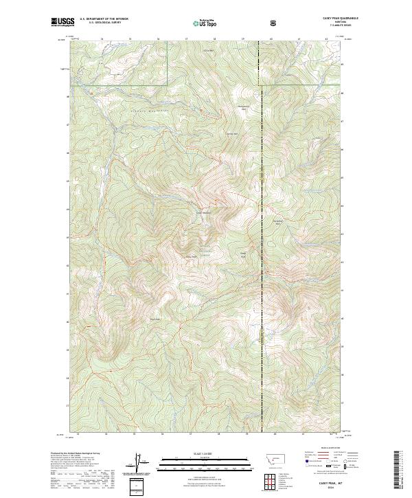
2024 Map of Casey Peak
USGS Topo · Published 2024About this map
The Helena National Forest dominates this landscape in the Elkhorn Mountains, where the drainage patterns of the Continental Divide region are clearly defined. High-elevation points like Casey Peak and High Peak overlook a network of meadows and seasonal parks, including Horsethief Park and Casey Meadows. The area's hydrology is marked by the headwaters of numerous streams, with McClellan Creek and its various forks carving through the western slopes while Beaver Creek and the South Fork Beaver Creek flow eastward toward the county line between Jefferson and Broadwater counties.
Find a feature on this map
48 named features on this map. Tap any name to fly to it.
Don’t see what you’re looking for? This feature index may not catch every label — zoom into the map to look around manually.
Map Details
Editions of this 2024 Casey Peak Map
This is the sole edition of this map. No revisions or reprints were ever made.
Other maps of this area

1886 · Fort Logan
USGS Topo · 1:250,000

1899 · Helena
USGS Topo · 1:62,500

1948 · White Sulphur Springs
USGS Topo · 1:250,000

1950 · Canyon Ferry
USGS Topo · 1:62,500

1950 · Townsend
USGS Topo · 1:62,500

1950 · East Helena
USGS Topo · 1:62,500

1950 · Clancy
USGS Topo · 1:62,500

1958 · White Sulphur Springs
USGS Topo · 1:250,000

1961 · White Sulphur Springs
USGS Topo · 1:250,000

1965 · White Sulphur Springs
USGS Topo · 1:250,000