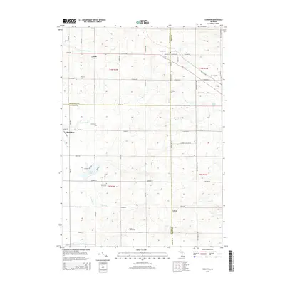
2014 Map of Casnovia
USGS Topo · Published 2014About this map
Casnovia sits at the junction of Muskegon and Kent Counties, serving as a focal point for this rural landscape during the early 21st century. The area is defined by a grid of agricultural land and small crossroads settlements like Canada Corners and Harrisburg, reflecting a long-standing pattern of West Michigan farmsteads. Several historical burial grounds, including Saint Francis Xavier's Cem and the Lisbon Cem, provide vital touchstones for family historians tracing early residents.
Find a feature on this map
68 named features on this map. Tap any name to fly to it.
Don’t see what you’re looking for? This feature index may not catch every label — zoom into the map to look around manually.
Map Details
Editions of this 2014 Casnovia Map
This is the sole edition of this map. No revisions or reprints were ever made.
Other maps of this area

1918 · Cedar Springs
USGS Topo · 1:62,500

1943 · Cedar Springs
USGS Topo · 1:62,500

1945 · Ravenna
USGS Topo · 1:62,500

1954 · Midland
USGS Topo · 1:250,000

1958 · Midland
USGS Topo · 1:250,000

1958 · Sand Lake
USGS Topo · 1:62,500

1958 · Fremont
USGS Topo · 1:62,500

1959 · Midland
USGS Topo · 1:250,000

1966 · Midland
USGS Topo · 1:250,000

1967 · Sparta
USGS Topo · 1:24,000