
1945 Map of Cassopolis
USGS Topo · Published 1967About this map
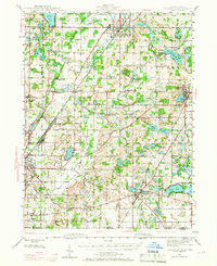
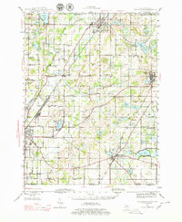
Dowagiac and Cassopolis anchor this mid-1940s landscape, which is defined by an intricate network of rural schoolhouses and small glacial lakes. The settlement pattern shows a high density of one-room schools, such as Yankee Street Sch and Hardscrabble Sch, indicating a localized agricultural community structure just before post-war consolidation. The Michigan Central railroad cuts through the terrain, connecting the industrial centers of Niles and Dowagiac while passing the Crystal Springs Campground.
Find a feature on this map
85 named features on this map. Tap any name to fly to it.
Don’t see what you’re looking for? This feature index may not catch every label — zoom into the map to look around manually.
Map Details
Editions of this 1945 Cassopolis Map
3 editions found
Other maps of this area

1927 · Niles
USGS Topo · 1:62,500

1927 · Hartford
USGS Topo · 1:62,500

1927 · Benton Harbor
USGS Topo · 1:62,500

1930 · Benton Harbor
USGS Topo · 1:62,500

1930 · Niles
USGS Topo · 1:62,500

1931 · Hartford
USGS Topo · 1:62,500

1943 · Niles
USGS Topo · 1:62,500

1944 · Marcellus
USGS Topo · 1:62,500

1946 · Marcellus
USGS Topo · 1:62,500

1947 · Cassopolis
USGS Topo · 1:62,500