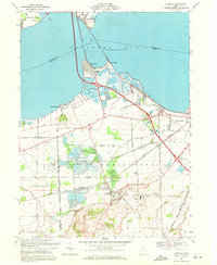
1969 Map of Castalia
USGS Topo · Published 1971About this map
Sandusky Bay defines the northern reaches of this landscape, where the Edison Bridge and a Penn Central rail line connect the mainland to the Marblehead Peninsula. The map reveals a complex aquatic environment, featuring the renowned Blue Hole and the extensive marshlands of the Resthaven Wildlife Area. Inland, the village of Castalia serves as a hub near the Castalia Trout Club, surrounded by a network of drainage features like Cold Creek and Little Pickerel Creek.
Find a feature on this map
45 named features on this map. Tap any name to fly to it.
Don’t see what you’re looking for? This feature index may not catch every label — zoom into the map to look around manually.
Map Details
Editions of this 1969 Castalia Map
2 editions found
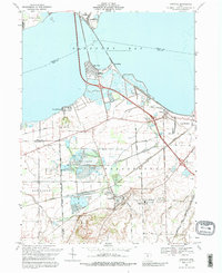
Other maps of this area

1901 · Put-In-Bay
USGS Topo · 1:62,500

1901 · Bellevue
USGS Topo · 1:62,500

1903 · Bellevue
USGS Topo · 1:62,500

1903 · Put In Bay
USGS Topo · 1:62,500

1904 · Sandusky
USGS Topo · 1:62,500

1916 · Kelleys Island
USGS Topo · 1:62,500

1919 · Kelleys Island
USGS Topo · 1:62,500

1956 · Toledo
USGS Topo · 1:250,000

1957 · Vickery
USGS Topo · 1:24,000

1959 · Kimball
USGS Topo · 1:24,000
Featured Places
- Sandusky, OH
- Danbury, Danbury Township
- Castalia, Margaretta Township
- Bay View, Margaretta Township
- Margaretta Township, OH