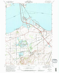
1969 Map of Castalia
USGS Topo · Published 1989About this map
Cold Creek flows toward Sandusky Bay in this detailed survey of the Erie and Sandusky county line. The village of Castalia is a central focal point, famously home to the Blue Hole and the Castalia Trout Club. The landscape reflects a mix of conservation and industry, with the expansive Resthaven Wildlife Area sitting adjacent to a Strip Mine and various quarries.
Find a feature on this map
55 named features on this map. Tap any name to fly to it.
Don’t see what you’re looking for? This feature index may not catch every label — zoom into the map to look around manually.
Map Details
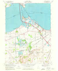
Editions of this 1969 Castalia Map
2 editions found
Other maps of this area

1901 · Put-In-Bay
USGS Topo · 1:62,500

1901 · Bellevue
USGS Topo · 1:62,500

1903 · Bellevue
USGS Topo · 1:62,500

1903 · Put In Bay
USGS Topo · 1:62,500

1904 · Sandusky
USGS Topo · 1:62,500

1916 · Kelleys Island
USGS Topo · 1:62,500

1919 · Kelleys Island
USGS Topo · 1:62,500

1956 · Toledo
USGS Topo · 1:250,000

1957 · Vickery
USGS Topo · 1:24,000

1959 · Kimball
USGS Topo · 1:24,000