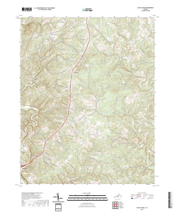
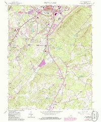
2022 Map of Castle Craig
USGS Topo · Published 2022About this map
Altavista anchors the southwestern corner of this survey, where the town limits transition into the rolling rural landscape of southern Campbell Co. The Big Otter River winds across the lower left, serving as a primary drainage point for a complex network of tributaries including Flintstone Cr and Cheese Cr. This 2022 survey captures the contemporary road network, including the residential developments surrounding Altavista Memorial Park and the rural crossroads of Kingston.
Find a feature on this map
92 named features on this map. Tap any name to fly to it.
Don’t see what you’re looking for? This feature index may not catch every label — zoom into the map to look around manually.
Map Details
Editions of this 2022 Castle Craig Map
This is the sole edition of this map. No revisions or reprints were ever made.
Historical Maps of Altavista Through Time
16 maps found
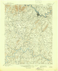
1892 Lynchburg
Campbell County, VA
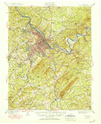
1944 Lynchburg
Campbell County, VA

1950 Lynchburg
Campbell County, VA
1956 Gladys
Campbell County, VA
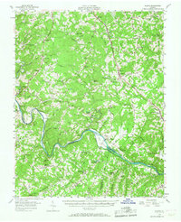
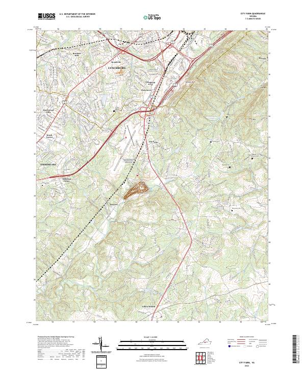
1963 City Farm
Campbell County, VA
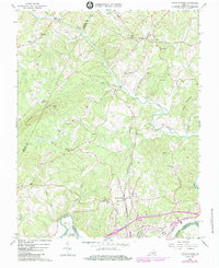
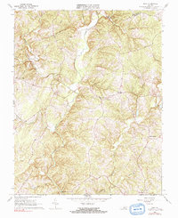
1966 Castle Craig
Campbell County, VA
1966 Gladys
Campbell County, VA
1966 Long Island
Campbell County, VA
1966 Lynch Station
Campbell County, VA
1966 Mike
Campbell County, VA
2022 Castle Craig
Campbell County, VA
2022 City Farm
Campbell County, VA
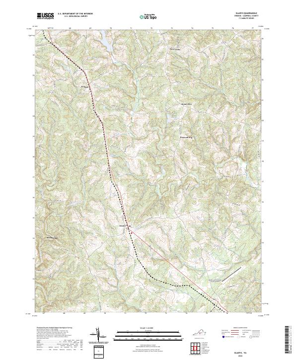
2022 Gladys
Campbell County, VA
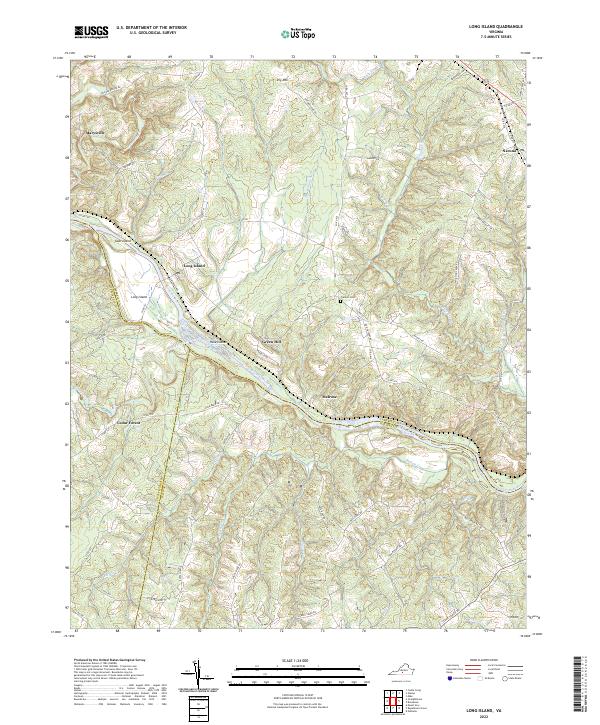
2022 Long Island
Campbell County, VA
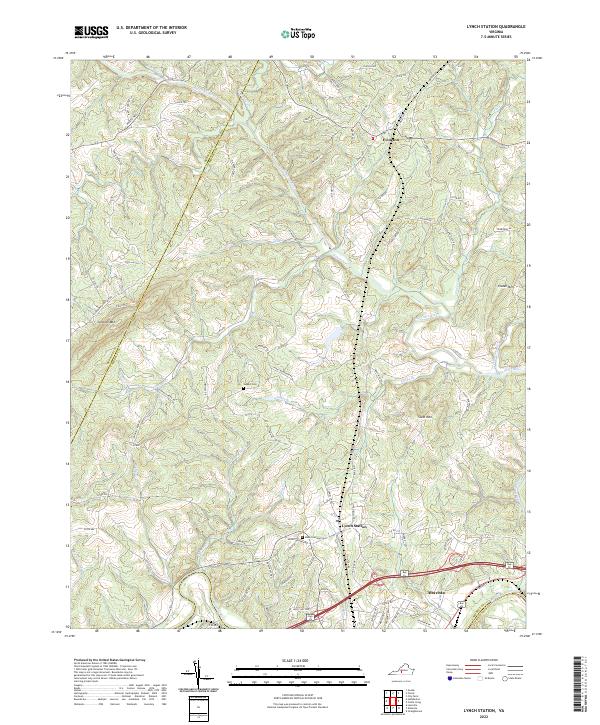
2022 Lynch Station
Campbell County, VA
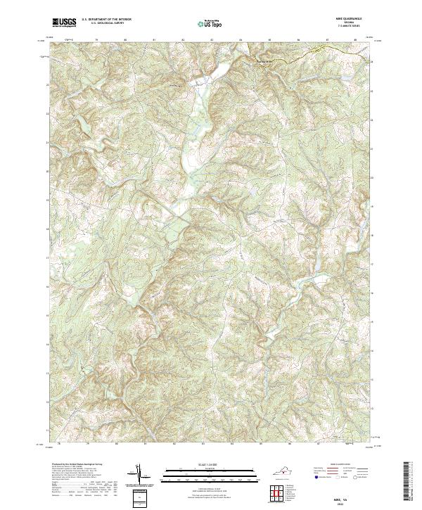
2022 Mike
Campbell County, VA