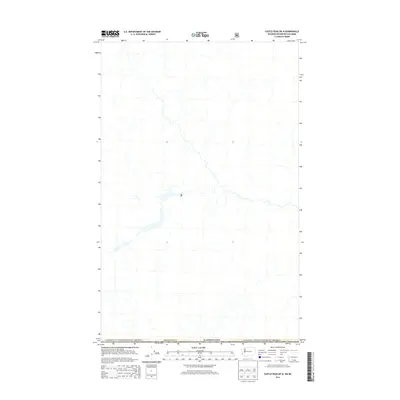
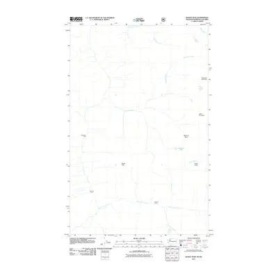
2014 Map of Castle Peak OE N
USGS Topo · Published 2014About this map
The Canada / United States of America international boundary defines the northern portion of this 2014 survey, where the high country of Washington state meets British Columbia. Situated within Okanogan Co, this area is characterized by a dense network of high-altitude drainages and tributaries that form the headwaters for the region's river systems. The map illustrates the remote interface between federal lands managed by the U.S. Forest Service and the international border, showing the modern road access and hydrological patterns as they existed in the early 21st century. While the terrain is primarily undeveloped, the cartography details the specific geographic intersection of national and county jurisdictions in this trans-border landscape.
Find a feature on this map
3 named features on this map. Tap any name to fly to it.
Don’t see what you’re looking for? This feature index may not catch every label — zoom into the map to look around manually.
Map Details
Editions of this 2014 Castle Peak OE N Map
This is the sole edition of this map. No revisions or reprints were ever made.
Other maps of this area

1920 · Slate Pass
USGS Topo · 1:125,000

1955 · Concrete
USGS Topo · 1:250,000

1958 · Concrete
USGS Topo · 1:250,000

1962 · Concrete
USGS Topo · 1:250,000

1969 · Skagit Peak
USGS Topo · 1:24,000

1969 · Frosty Creek
USGS Topo · 1:24,000
2002 · Skagit Peak
USGS Topo · 1:24,000
2002 · Frosty Creek
USGS Topo · 1:24,000
2002 · Castle Peak
USGS Topo · 1:24,000
2011 · Skagit Peak
USGS Topo · 1:24,000