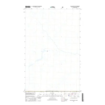
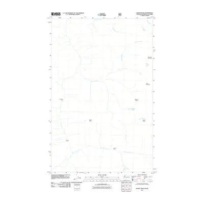
2017 Map of Castle Peak OE N
USGS Topo · Published 2017About this map
The international border between Canada and the United States of America defines the lower boundary of this high-altitude landscape. This 2017 survey focuses on a remote, largely undeveloped area within the British Columbia Cascades, specifically the southern reaches of the Fraser Valley Regional District. The map displays a complex network of alpine drainage systems and seasonal streams that flow southward toward the border, highlighting a landscape defined by sharp elevation shifts and natural watersheds rather than human settlement. Because it covers a region where the two nations meet along a rugged mountain crest, the survey serves as a vital record of cross-border topography in a place where modern infrastructure and roads are notably absent.
Find a feature on this map
1 named feature on this map. Tap any name to fly to it.
Don’t see what you’re looking for? This feature index may not catch every label — zoom into the map to look around manually.
Map Details
Editions of this 2017 Castle Peak OE N Map
This is the sole edition of this map. No revisions or reprints were ever made.
Other maps of this area

1920 · Slate Pass
USGS Topo · 1:125,000

1955 · Concrete
USGS Topo · 1:250,000

1958 · Concrete
USGS Topo · 1:250,000

1962 · Concrete
USGS Topo · 1:250,000

1969 · Skagit Peak
USGS Topo · 1:24,000

1969 · Frosty Creek
USGS Topo · 1:24,000
2002 · Skagit Peak
USGS Topo · 1:24,000
2002 · Frosty Creek
USGS Topo · 1:24,000
2002 · Castle Peak
USGS Topo · 1:24,000
2011 · Skagit Peak
USGS Topo · 1:24,000