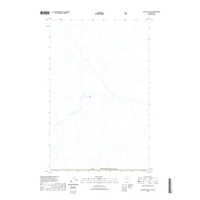
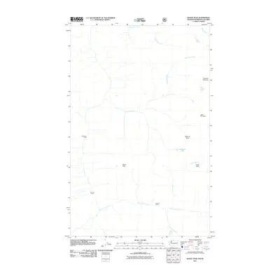
2020 Map of Castle Peak OE N
USGS Topo · Published 2020About this map
The international border with Canada defines the southern edge of this remote wilderness area, which sits within the northernmost reaches of the Mount Baker National Forest. This 2020 survey records a landscape shaped by a dense network of high-altitude drainages and tributaries, many of which remain unnamed on this specific sheet. The lack of roads or established settlements on this map underscores the wild nature of the North Cascades during this era, serving as a clean record of the region's natural hydrography and terrain before any future human infrastructure or major forest management changes. It is a focused study of the drainage patterns flowing north into British Columbia and south toward the heart of the national forest.
Find a feature on this map
2 named features on this map. Tap any name to fly to it.
Don’t see what you’re looking for? This feature index may not catch every label — zoom into the map to look around manually.
Map Details
Editions of this 2020 Castle Peak OE N Map
This is the sole edition of this map. No revisions or reprints were ever made.
Other maps of this area

1920 · Slate Pass
USGS Topo · 1:125,000

1955 · Concrete
USGS Topo · 1:250,000

1958 · Concrete
USGS Topo · 1:250,000

1962 · Concrete
USGS Topo · 1:250,000

1969 · Skagit Peak
USGS Topo · 1:24,000

1969 · Frosty Creek
USGS Topo · 1:24,000
2002 · Skagit Peak
USGS Topo · 1:24,000
2002 · Frosty Creek
USGS Topo · 1:24,000
2002 · Castle Peak
USGS Topo · 1:24,000
2011 · Skagit Peak
USGS Topo · 1:24,000