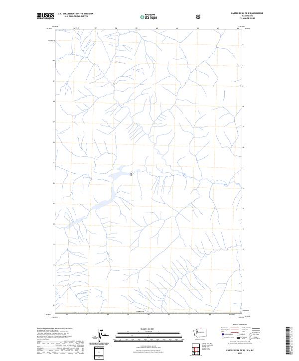
2023 Map of Castle Peak OE N
USGS Topo · Published 2023About this map
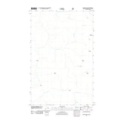
Canada defines the northern boundary of this high-altitude landscape in the Cascade Range, as recorded in this 2023 U.S. Geological Survey topographic study. This area, located near the international border in northern Okanogan County, is characterized by a dense network of high-elevation streams and drainage basins that feed into larger alpine valleys. The hydrography reflects the complex glacial and seasonal runoff patterns typical of this portion of Washington. While largely devoid of named human settlements or structures on this specific sheet, the map provides a precise layout of the natural terrain and water features that have shaped the land's use for resource management and border security. Researchers can trace the intricate relationship between the northern border and the headwaters that flow south from the international line.
Find a feature on this map
1 named feature on this map. Tap any name to fly to it.
Don’t see what you’re looking for? This feature index may not catch every label — zoom into the map to look around manually.
Map Details
Editions of this 2023 Castle Peak OE N Map
This is the sole edition of this map. No revisions or reprints were ever made.
Other maps of this area

1920 · Slate Pass
USGS Topo · 1:125,000

1955 · Concrete
USGS Topo · 1:250,000

1958 · Concrete
USGS Topo · 1:250,000

1962 · Concrete
USGS Topo · 1:250,000

1969 · Skagit Peak
USGS Topo · 1:24,000

1969 · Frosty Creek
USGS Topo · 1:24,000
2002 · Skagit Peak
USGS Topo · 1:24,000
2002 · Frosty Creek
USGS Topo · 1:24,000
2002 · Castle Peak
USGS Topo · 1:24,000
2011 · Skagit Peak
USGS Topo · 1:24,000