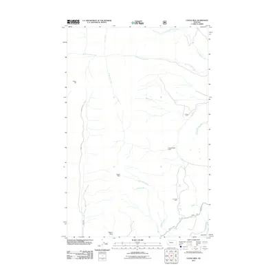
2011 Map of Castle Reef
USGS Topo · Published 2011About this map
Kellogg Ranch and Davy High Ranch anchor this 2011 survey of the Lewis and Clark County landscape, where the plains meet the rising geologic formations of the Rocky Mountain Front. The map documents a complex drainage system led by North Fork Deep Creek and South Fork Deep Creek, while the southern reaches show the engineering of the Pishkun Canal as it nears the Sun River.
Find a feature on this map
18 named features on this map. Tap any name to fly to it.
Don’t see what you’re looking for? This feature index may not catch every label — zoom into the map to look around manually.
Map Details
Editions of this 2011 Castle Reef Map
This is the sole edition of this map. No revisions or reprints were ever made.
Other maps of this area

1903 · Saypo
USGS Topo · 1:125,000

1955 · Choteau
USGS Topo · 1:250,000

1957 · Choteau
USGS Topo · 1:250,000

1958 · Choteau
USGS Topo · 1:250,000

1958 · Ear Mountain
USGS Topo · 1:24,000

1958 · Lake Theboe
USGS Topo · 1:24,000

1958 · Our Lake
USGS Topo · 1:24,000

1958 · Barr Creek
USGS Topo · 1:24,000

1958 · Sawtooth Ridge
USGS Topo · 1:24,000

1958 · Patricks Basin
USGS Topo · 1:24,000