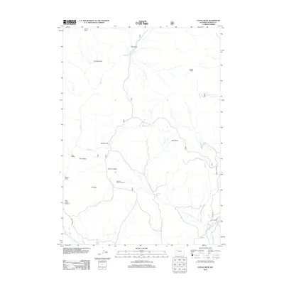
2012 Map of Castle Rock
USGS Topo · Published 2012About this map
Flying T Ranch sits at the southern edge of this high-altitude landscape in Fremont County, where the E Fork Wind River carves through the terrain. The geography is defined by prominent ridges and basins, most notably Elk Ridge and the broad Alkali Basin. The presence of the East Fork Elk Winter Pasture highlights the importance of this territory for regional wildlife conservation and seasonal migration.
Find a feature on this map
26 named features on this map. Tap any name to fly to it.
Don’t see what you’re looking for? This feature index may not catch every label — zoom into the map to look around manually.
Map Details
Editions of this 2012 Castle Rock Map
This is the sole edition of this map. No revisions or reprints were ever made.
Other maps of this area

1904 · Kirwin
USGS Topo · 1:125,000

1905 · Younts Peak
USGS Topo · 1:125,000

1906 · Kirwin
USGS Topo · 1:125,000

1907 · Younts Peak
USGS Topo · 1:125,000

1955 · Thermopolis
USGS Topo · 1:250,000

1956 · Indian Point
USGS Topo · 1:24,000

1956 · Snow Lake
USGS Topo · 1:24,000

1956 · Mason Draw
USGS Topo · 1:24,000

1958 · Thermopolis
USGS Topo · 1:250,000

1962 · Thermopolis
USGS Topo · 1:250,000