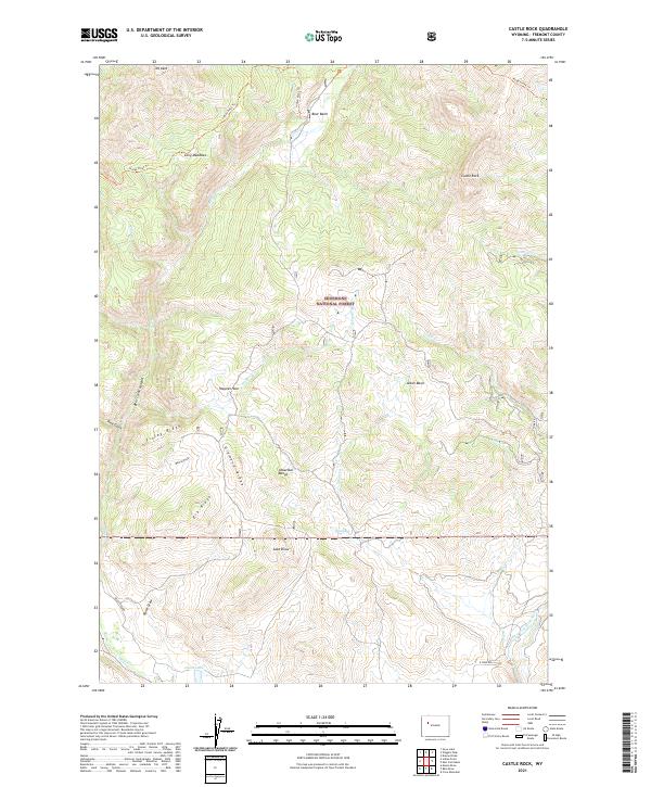
2021 Map of Castle Rock
USGS Topo · Published 2021About this map
The Absaroka Range defines the high country of this portion of the Shoshone National Forest, where steep ridges and deep draws dictate the movement of both water and travelers. The landscape is marked by prominent family-named landmarks and hydrological features, including the Bear Creek Canyon and the notable high point at Mt Kent. The presence of Alkali Bog and Alkali Basin indicates the specific mineral character of the drainage basins here, while Long Meadows and Bear Basin offer breaks in the high-elevation terrain.
Find a feature on this map
37 named features on this map. Tap any name to fly to it.
Don’t see what you’re looking for? This feature index may not catch every label — zoom into the map to look around manually.
Map Details
Editions of this 2021 Castle Rock Map
This is the sole edition of this map. No revisions or reprints were ever made.
Other maps of this area

1904 · Kirwin
USGS Topo · 1:125,000

1905 · Younts Peak
USGS Topo · 1:125,000

1906 · Kirwin
USGS Topo · 1:125,000

1907 · Younts Peak
USGS Topo · 1:125,000

1955 · Thermopolis
USGS Topo · 1:250,000

1956 · Indian Point
USGS Topo · 1:24,000

1956 · Snow Lake
USGS Topo · 1:24,000

1956 · Mason Draw
USGS Topo · 1:24,000

1958 · Thermopolis
USGS Topo · 1:250,000

1962 · Thermopolis
USGS Topo · 1:250,000