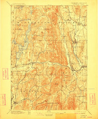
1897 Map of Castleton
USGS Topo · Published 1912About this map
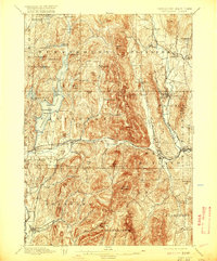
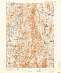
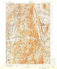
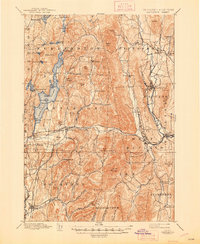
Lake Bomoseen dominates this late nineteenth-century landscape, surrounded by a network of marble-quarrying and agricultural towns. The map captures the industrial character of the era, particularly along the Castleton River and Otter Creek, where the Central Vermont R.R. and Delaware and Hudson R.R. facilitated the transport of resources. Notable settlements such as Poultney and Proctor are shown in detail, alongside smaller vanished or evolved localities like Ransomvale and Blissville. The topography of the Taconic Mountains is clearly defined, with landmarks like Bird Mountain and Herrick Mountain rising between the valleys of the Clarendon River and the lake. Genealogists will find value in the specific placement of outlying hamlets such as East Hubbardton and Chippenhook, providing a geographic context for Vermont families just before the automobile era.
Find a feature on this map
97 named features on this map. Tap any name to fly to it.
Don’t see what you’re looking for? This feature index may not catch every label — zoom into the map to look around manually.
Map Details
Editions of this 1897 Castleton Map
9 editions found

Other maps of this area

1891 · Rutland
USGS Topo · 1:62,500

1893 · Wallingford
USGS Topo · 1:62,500

1893 · Rutland
USGS Topo · 1:62,500

1893 · Fort Ann
USGS Topo · 1:62,500

1893 · Whitehall
USGS Topo · 1:62,500

1894 · Ticonderoga
USGS Topo · 1:62,500

1894 · Pawlet
USGS Topo · 1:62,500

1895 · Whitehall
USGS Topo · 1:62,500

1895 · Fort Ann
USGS Topo · 1:62,500

1895 · Castleton
USGS Topo · 1:62,500