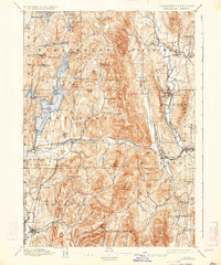
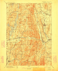
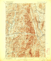
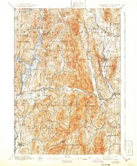
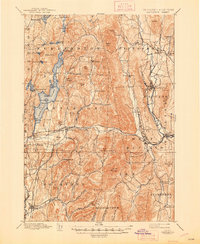
1897 Map of Castleton
USGS Topo · Published 1934About this map
The industrial and agricultural heart of Rutland County is clearly visible in this late nineteenth-century survey, which documents the region's complex rail network and marble-quarrying landscape. The Delaware and Hudson RR and the Clarendon and Pittsford RR weave through the valleys, connecting settlements like Proctor, Castleton, and Poultney. The prominence of Bomoseen Lake and its surrounding features, such as Neshobee Id. and Rabbit Id., highlights the area's natural geography alongside its industrial growth. West of the Castleton River, the terrain rises toward Bird Mountain and Herrick Mountain, framing the narrow valleys where communities like Ira and Clarendon Springs are established. This topography influenced the placement of early settlements and roads, many of which follow the natural breaks provided by Whipple Hollow and Hampshire Hollow.
Find a feature on this map
99 named features on this map. Tap any name to fly to it.
Don’t see what you’re looking for? This feature index may not catch every label — zoom into the map to look around manually.
Map Details
Editions of this 1897 Castleton Map
9 editions found

Other maps of this area

1891 · Rutland
USGS Topo · 1:62,500

1893 · Wallingford
USGS Topo · 1:62,500

1893 · Rutland
USGS Topo · 1:62,500

1893 · Fort Ann
USGS Topo · 1:62,500

1893 · Whitehall
USGS Topo · 1:62,500

1894 · Ticonderoga
USGS Topo · 1:62,500

1894 · Pawlet
USGS Topo · 1:62,500

1895 · Whitehall
USGS Topo · 1:62,500

1895 · Fort Ann
USGS Topo · 1:62,500

1895 · Castleton
USGS Topo · 1:62,500