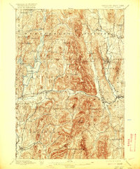
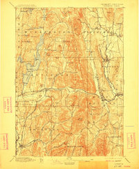
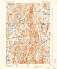
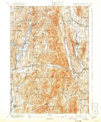
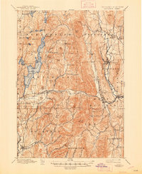
1897 Map of Castleton
USGS Topo · Published 1920About this map
Lake Bomoseen dominates the western landscape of this late nineteenth-century Vermont survey, surrounded by established settlements like Hydeville and West Castleton. The topography is defined by the sharp contrasts between the Castleton River valley and the high peaks of Herrick Mountain and Bird Mountain. The industrial and transportation network of the era is evident in the dense rail infrastructure, including the Delaware and Hudson R.R. and the Clarendon and Pittsford R.R., which served the marble and slate regions. Villages such as Poultney and Castleton appear as well-defined hubs of commerce, while smaller hamlets like Chippenhook and Florence dot the outlying agricultural and mining lands. The map also captures the border with New York at Hampton, showing the early connectivity between Washington Co. and Rutland Co. through established river and rail corridors.
Find a feature on this map
94 named features on this map. Tap any name to fly to it.
Don’t see what you’re looking for? This feature index may not catch every label — zoom into the map to look around manually.
Map Details
Editions of this 1897 Castleton Map
9 editions found

Other maps of this area

1891 · Rutland
USGS Topo · 1:62,500

1893 · Wallingford
USGS Topo · 1:62,500

1893 · Rutland
USGS Topo · 1:62,500

1893 · Fort Ann
USGS Topo · 1:62,500

1893 · Whitehall
USGS Topo · 1:62,500

1894 · Ticonderoga
USGS Topo · 1:62,500

1894 · Pawlet
USGS Topo · 1:62,500

1895 · Whitehall
USGS Topo · 1:62,500

1895 · Fort Ann
USGS Topo · 1:62,500

1895 · Castleton
USGS Topo · 1:62,500