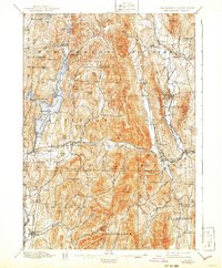
1897 Map of Castleton
USGS Topo · Published 1941About this map
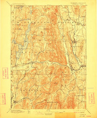
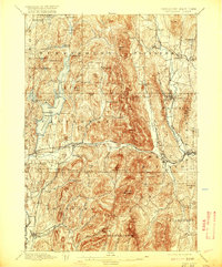
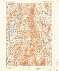
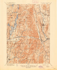
Bomoseen Lake dominates the western landscape of this late nineteenth-century Vermont survey, surrounded by a dense network of hamlets and industrial corridors. The village of Castleton sits at a vital crossroads, where the Delaware and Hudson R.R. and Rutland and Washington R.R. navigate the valley of the Castleton River. This region represents a complex blend of agricultural settlements and early manufacturing centers, with the marble-rich area of Proctor and the slate-producing regions near Hydeville and Blissville clearly established.
Find a feature on this map
91 named features on this map. Tap any name to fly to it.
Don’t see what you’re looking for? This feature index may not catch every label — zoom into the map to look around manually.
Map Details
Editions of this 1897 Castleton Map
9 editions found

Other maps of this area

1891 · Rutland
USGS Topo · 1:62,500

1893 · Wallingford
USGS Topo · 1:62,500

1893 · Rutland
USGS Topo · 1:62,500

1893 · Fort Ann
USGS Topo · 1:62,500

1893 · Whitehall
USGS Topo · 1:62,500

1894 · Ticonderoga
USGS Topo · 1:62,500

1894 · Pawlet
USGS Topo · 1:62,500

1895 · Whitehall
USGS Topo · 1:62,500

1895 · Fort Ann
USGS Topo · 1:62,500

1895 · Castleton
USGS Topo · 1:62,500