1964 Map of Castroville
USGS Topo · Published 1982About this map
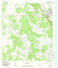
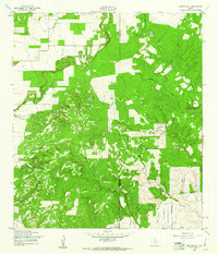
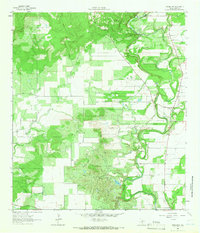
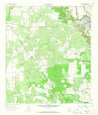
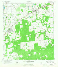
Castroville serves as the focal point of this survey, showcasing its established town grid along the Medina River and its transition from early settlement to a regional center in Medina County. The landscape is defined by the sharp contrast between the irrigated valley floor and the surrounding hills, such as Clousley Hill and California Hill. The Medina Canal and various siphons illustrate the sophisticated water management required for agriculture in this Texas climate, while the Southern Pacific line connects the smaller settlements of Dunlay and Noonan to the broader rail network.
Find a feature on this map
30 named features on this map. Tap any name to fly to it.
Don’t see what you’re looking for? This feature index may not catch every label — zoom into the map to look around manually.
Map Details
Editions of this 1964 Castroville Map
2 editions found
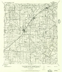
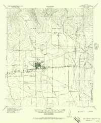
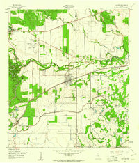
Other maps of this area
1942 · Natalia
USGS Topo · 1:62,500

1954 · San Antonio
USGS Topo · 1:250,000
1956 · New Fountain
USGS Topo · 1:62,500

1957 · San Antonio
USGS Topo · 1:250,000
1958 · La Coste
USGS Topo · 1:24,000
1958 · La Coste NE
USGS Topo · 1:24,000
1964 · Riomedina
USGS Topo · 1:24,000
1964 · Castroville
USGS Topo · 1:24,000

1964 · Devine
USGS Topo · 1:24,000
1964 · Lytle
USGS Topo · 1:24,000