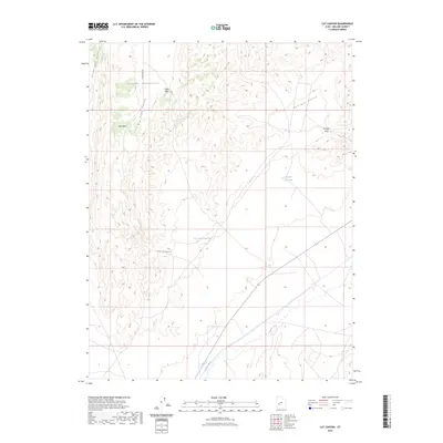
2023 Map of Cat Canyon
USGS Topo · Published 2023About this map
The Cricket Mountains dominate this 2023 landscape in Millard County, providing a series of high ridges and passes between the broad basins of western Utah. Navigation through this arid terrain centers on natural corridors like Red Pass and Cedar Pass, which connect the expansive Big Sage Valley to the surrounding lowlands. Water management is a defining characteristic of the area, evidenced by the presence of Cat Canyon Reservoir and Georges Reservoir, which capture runoff from the namesake Cat Canyon and the surrounding hills. In the southern portion of the sheet, the Beaver River cuts across the valley floor, serving as a primary hydrological feature in an otherwise dry and high-altitude desert environment.
Find a feature on this map
11 named features on this map. Tap any name to fly to it.
Don’t see what you’re looking for? This feature index may not catch every label — zoom into the map to look around manually.
Map Details
Editions of this 2023 Cat Canyon Map
This is the sole edition of this map. No revisions or reprints were ever made.
Other maps of this area

1885 · Beaver
USGS Topo · 1:250,000

1953 · Richfield
USGS Topo · 1:250,000

1958 · Richfield
USGS Topo · 1:250,000

1960 · Beaver Lake Mts.
USGS Topo · 1:62,500

1972 · Headlight Mtn
USGS Topo · 1:24,000
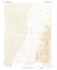
1972 · Sevier Lake NE
USGS Topo · 1:24,000

1973 · Cruz
USGS Topo · 1:24,000

1973 · Antelope Spring
USGS Topo · 1:24,000
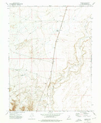
1973 · Borden
USGS Topo · 1:24,000

1973 · Black Rock
USGS Topo · 1:24,000