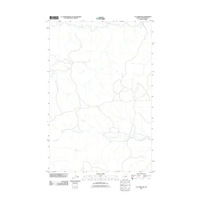
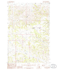
2011 Map of Cat Creek NW
USGS Topo · Published 2011About this map
Blood Creek and Cottonwood Creek dominate this 2011 survey of Petroleum County, tracing the intricate drainage patterns of the Missouri River breaks. The landscape is defined by the stark, eroded terrain of central Montana, where watercourses have carved deep, winding paths through the plains. The map reveals the isolation of this region, showing a network of secondary and local roads that navigate between the creek beds and upland flats. While few man-made landmarks appear, the topographic detail provided by the U.S. Geological Survey highlights the extreme relief of the coulees and ridges typical of the Big Dry country, providing a clear record of the area's physical geography in the early 21st century.
Find a feature on this map
2 named features on this map. Tap any name to fly to it.
Don’t see what you’re looking for? This feature index may not catch every label — zoom into the map to look around manually.
Map Details
Editions of this 2011 Cat Creek NW Map
This is the sole edition of this map. No revisions or reprints were ever made.
Other maps of this area

1954 · Lewistown
USGS Topo · 1:250,000

1959 · Lewistown
USGS Topo · 1:250,000
1985 · Kirkendal Flat
USGS Topo · 1:24,000

1985 · Brown Spring
USGS Topo · 1:24,000
1985 · Davis Spring
USGS Topo · 1:24,000
1986 · Cat Creek
USGS Topo · 1:24,000

1986 · Ingals Dam
USGS Topo · 1:24,000

1986 · Winnett North
USGS Topo · 1:24,000
1986 · Tin Can Hill
USGS Topo · 1:24,000

1986 · Dry Blood Creek East
USGS Topo · 1:24,000