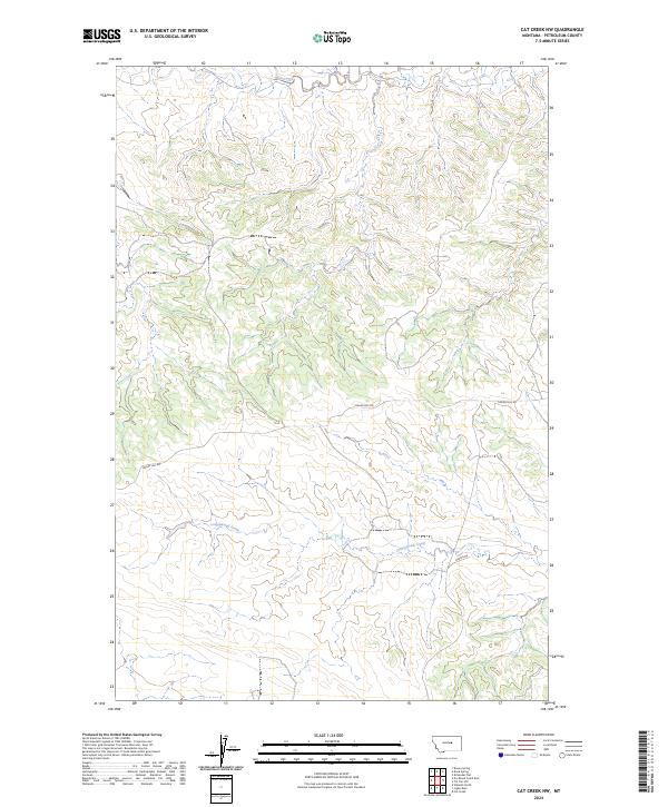
2024 Map of Cat Creek NW
USGS Topo · Published 2024About this map
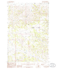
Blood Creek winds through the northern sections of this Petroleum County landscape, defining the drainage patterns of a region shaped by the Public Land Survey System. The area is dominated by the intersection of four townships, including t17n r27e and t16n r28e, where the topography is characterized by the draws and coulees feeding into Cottonwood Creek. Human impact is sparse, primarily represented by rural infrastructure such as Tincan Hill Rd and Koenig Dr, which provide access through the undulating terrain. This 2024 data reflects a modern view of Montana's open rangeland, where the primary divisions are based on historical section lines and natural watercourses rather than dense settlement.
Find a feature on this map
8 named features on this map. Tap any name to fly to it.
Don’t see what you’re looking for? This feature index may not catch every label — zoom into the map to look around manually.
Map Details
Editions of this 2024 Cat Creek NW Map
This is the sole edition of this map. No revisions or reprints were ever made.
Other maps of this area

1954 · Lewistown
USGS Topo · 1:250,000

1959 · Lewistown
USGS Topo · 1:250,000
1985 · Kirkendal Flat
USGS Topo · 1:24,000

1985 · Brown Spring
USGS Topo · 1:24,000
1985 · Davis Spring
USGS Topo · 1:24,000
1986 · Cat Creek
USGS Topo · 1:24,000

1986 · Ingals Dam
USGS Topo · 1:24,000

1986 · Winnett North
USGS Topo · 1:24,000
1986 · Tin Can Hill
USGS Topo · 1:24,000

1986 · Dry Blood Creek East
USGS Topo · 1:24,000