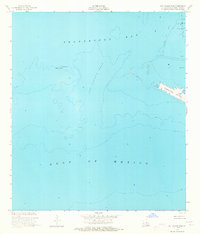
1953 Map of Cat Island Pass
USGS Topo · Published 1965About this map
Terrebonne Bay and the open Gulf of Mexico meet in this mid-century hydrographic and topographic study of the Louisiana coast. The map highlights the shifting barrier island geography and early industrial presence in the marshes, most notably the Caillou Island Field with its network of infrastructure. Navigational aids like Marker No 1 and a Light help define the shipping channel through Cat Island Pass, a critical maritime artery. The landscape shows the exposure of Wine Island and the elongated stretch of Timbalier Island, where a solitary Oil Well is recorded. This 1950s documentation, compiled from aerial photography and planetable surveys, captures a specific era of coastal morphology and mineral exploration before significant late-century erosion altered the shoreline of Terrebonne Parish.
Find a feature on this map
10 named features on this map. Tap any name to fly to it.
Don’t see what you’re looking for? This feature index may not catch every label — zoom into the map to look around manually.
Map Details
Editions of this 1953 Cat Island Pass Map
4 editions found
Other maps of this area

1894 · Timbalier
USGS Topo · 1:62,500

1935 · Cocodrie
USGS Topo · 1:31,680

1935 · Timbalier Island
USGS Topo · 1:31,680
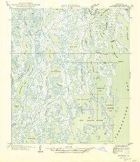
1945 · Cocodrie
USGS Topo · 1:31,680

1945 · Lake La Graisse
USGS Topo · 1:31,680

1945 · New Orleans
USGS Topo · 1:250,000

1946 · Lake La Graisse
USGS Topo · 1:31,680

1947 · Jacko Bay
USGS Topo · 1:31,680
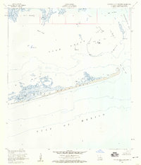
1953 · Eastern Isles Dernieres
USGS Topo · 1:24,000
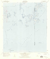
1953 · Jacko Bay
USGS Topo · 1:24,000