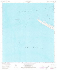
1953 Map of Cat Island Pass
USGS Topo · Published 1981About this map
Timbalier Island and the neighboring Wine Island anchor this coastal survey, where the waters of Terrebonne Bay meet the open Gulf of Mexico. The landscape is defined by the shifting shoals and deep-water channels of Cat Island Pass, a critical maritime artery in Louisiana's coastal marshlands. This edition, photorevised in the late 1970s, reveals the industrial footprint of the offshore energy sector with the Caillou Island Field and multiple installations marked simply as Oil Well. Navigational aids like the Light and Marker No 1 emphasize the importance of safe passage through these treacherous barrier island gaps, where the shoreline is subject to constant change from tide and storm surge.
Find a feature on this map
10 named features on this map. Tap any name to fly to it.
Don’t see what you’re looking for? This feature index may not catch every label — zoom into the map to look around manually.
Map Details
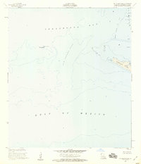
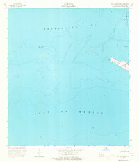
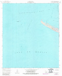
Editions of this 1953 Cat Island Pass Map
4 editions found
Other maps of this area

1894 · Timbalier
USGS Topo · 1:62,500

1935 · Cocodrie
USGS Topo · 1:31,680

1935 · Timbalier Island
USGS Topo · 1:31,680
1945 · Cocodrie
USGS Topo · 1:31,680

1945 · Lake La Graisse
USGS Topo · 1:31,680

1945 · New Orleans
USGS Topo · 1:250,000

1946 · Lake La Graisse
USGS Topo · 1:31,680

1947 · Jacko Bay
USGS Topo · 1:31,680
1953 · Eastern Isles Dernieres
USGS Topo · 1:24,000
1953 · Jacko Bay
USGS Topo · 1:24,000