
1893 Map of Cat Island
USGS Topo · Published 1893About this map
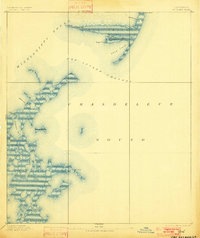
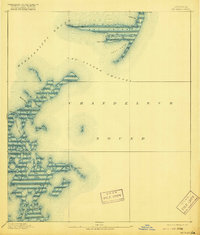
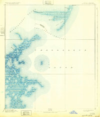
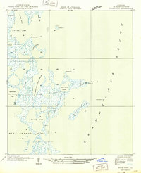
Cat Island and the surrounding waters of the Mississippi Sound define this coastal landscape at the edge of the Gulf of Mexico. This 1893 edition by the U.S. Geological Survey, based on earlier coastal work by the U.S. Coast and Geodetic Survey, meticulously charts the shifting sandbars and islands of the Louisiana-Mississippi border. Landmarks like Cat Island Light at West Point provided essential navigation for maritime traffic moving through the Cat Island Channel toward the Chandeleur Sound. The map reveals an intricate network of waterways and low-lying landforms, including Isle A Pitre, Brush Island, and Sundown Island. These coastal features, many subject to the constant erosion of the Gulf, are recorded here with precision, including small inlets like Spit Cove and the winding Bayou Pierre. The survey highlights a period when maritime navigation and coastal surveying were critical to the development of Gulf trade.
Find a feature on this map
21 named features on this map. Tap any name to fly to it.
Don’t see what you’re looking for? This feature index may not catch every label — zoom into the map to look around manually.
Map Details
Editions of this 1893 Cat Island Map
4 editions found
Other maps of this area

1893 · Chandeleur
USGS Topo · 1:62,500

1893 · Toulme
USGS Topo · 1:62,500

1895 · Bodreau
USGS Topo · 1:62,500

1935 · Mitchell Keys
USGS Topo · 1:31,680

1946 · Oak Mound Bayou
USGS Topo · 1:31,680

1946 · Isle Au Pitre
USGS Topo · 1:31,680
1949 · Drum Bay
USGS Topo · 1:31,680
1949 · Door Point
USGS Topo · 1:31,680

1950 · Ship Island
USGS Topo · 1:24,000

1951 · Cat Island
USGS Topo · 1:24,000