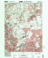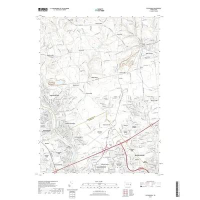
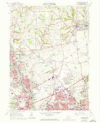
1964 Map of Catasauqua
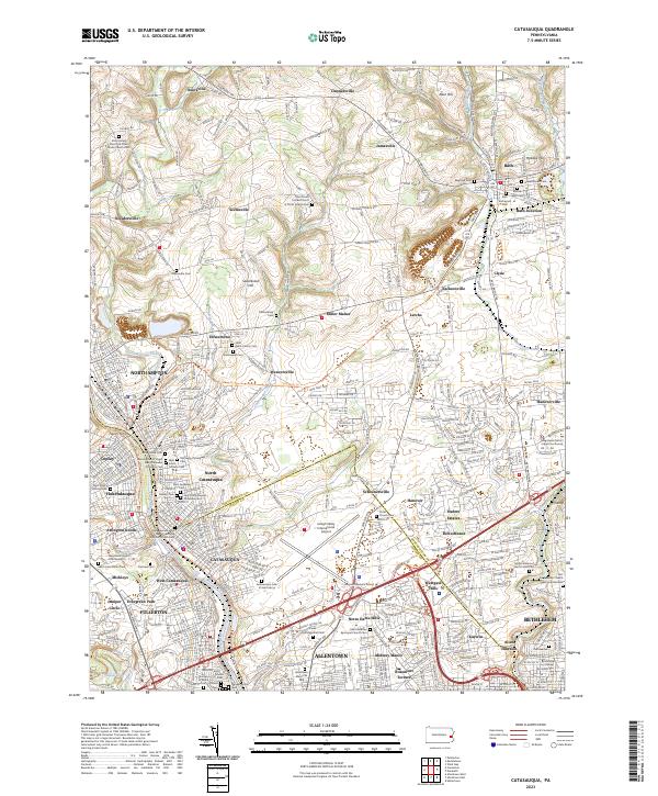
USGS Topo · Published 1972About this map
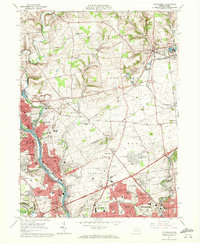
The Lehigh River corridor serves as the industrial and social spine of this region during the mid-1960s, anchoring the dense residential growth of Catasauqua, Fullerton, and North Catasauqua. The landscape is a complex mix of urban expansion and agricultural history, visible in the transition from the red-tinted downtown districts of Bethlehem and Allentown to the sprawling State Hospital Farm and the distinct peaks of Sauerkraut Hill and Holiday Hill. The era's transportation infrastructure is heavily represented by the intersecting lines of the Lehigh and New England, Erie-Lackawanna, and Lehigh Valley railroads, which facilitated the movement of goods through the valley. Local life is documented through numerous religious and educational landmarks, from the Moravian College campus to parish centers like St Michaels Ch and St Johns Ch. Significant cemetery sites, including Cedar Hill Memorial Park and Woodlawn Memorial Park, provide essential points of reference for genealogists tracing family roots in this corner of Pennsylvania.
Find a feature on this map
105 named features on this map. Tap any name to fly to it.
Don’t see what you’re looking for? This feature index may not catch every label — zoom into the map to look around manually.
Map Details
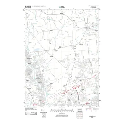
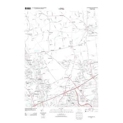
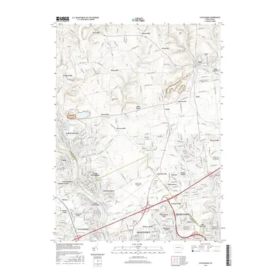
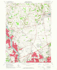
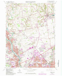
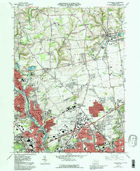
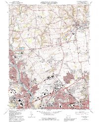
Editions of this 1964 Catasauqua Map
6 editions found
Historical Maps of Allentown Through Time
7 maps found