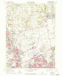
1964 Map of Catasauqua
USGS Topo · Published 1973About this map
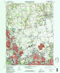
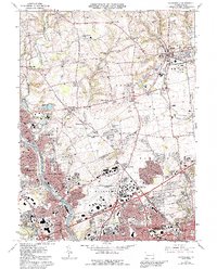
The Lehigh River corridor serves as a busy industrial and residential spine in this mid-century survey of the Pennsylvania cement belt. Towns like North Catasauqua and Northampton are densely packed with schools and churches, including St Lawrence Sch and the Lady of Hungary Sch, reflecting the community-centric development typical of this region's labor history. The map captures a landscape in transition, where the sprawling Allentown-Bethlehem-Easton Airport and new residential developments like Stafore Estates and Delta Manor begin to encroach upon older rural patterns.
Find a feature on this map
112 named features on this map. Tap any name to fly to it.
Don’t see what you’re looking for? This feature index may not catch every label — zoom into the map to look around manually.
Map Details
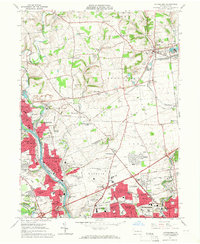
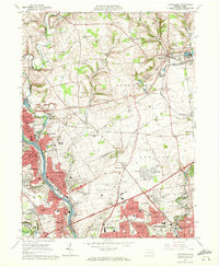
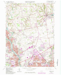
Editions of this 1964 Catasauqua Map
6 editions found
Other maps of this area

1894 · Allentown
USGS Topo · 1:62,500

1902 · Slatington
USGS Topo · 1:62,500

1914 · Wind Gap
USGS Topo · 1:62,500

1916 · Wind Gap
USGS Topo · 1:62,500

1922 · Mauch Chunk
USGS Topo · 1:62,500

1924 · Mauch Chunk
USGS Topo · 1:62,500

1937 · Allentown West
USGS Topo · 1:48,000

1939 · Allentown
USGS Topo · 1:62,500

1942 · Allentown West
USGS Topo · 1:62,500

1943 · Mauch Chunk
USGS Topo · 1:62,500