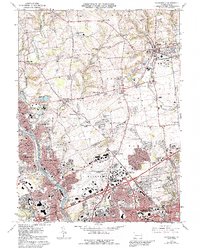
1964 Map of Catasauqua
USGS Topo · Published 1992About this map
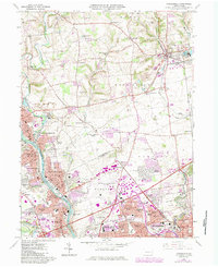
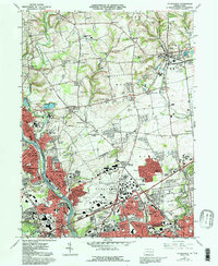
The Lehigh River corridor serves as the industrial and residential spine of this mid-century Pennsylvania landscape, where the urban boundaries of Allentown, Bethlehem, and Northampton converge. The terrain is defined by a dense network of specialized land use, from the expansive Allentown-Bethlehem-Easton Airport to the sprawling State Hospital Farm. Smaller rural settlements like Seemsville and Weaversville persist in the north, while the southern half shows the concentrated growth of the Lehigh Valley Industrial Park and residential developments like Midway Manor and Westgate Hills.
Find a feature on this map
96 named features on this map. Tap any name to fly to it.
Don’t see what you’re looking for? This feature index may not catch every label — zoom into the map to look around manually.
Map Details
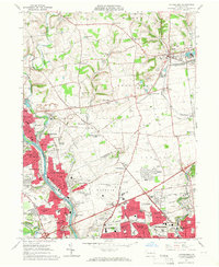
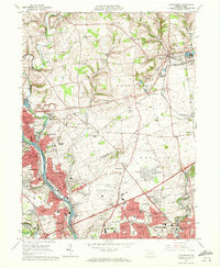
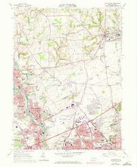
Editions of this 1964 Catasauqua Map
6 editions found
Other maps of this area

1894 · Allentown
USGS Topo · 1:62,500

1902 · Slatington
USGS Topo · 1:62,500

1914 · Wind Gap
USGS Topo · 1:62,500

1916 · Wind Gap
USGS Topo · 1:62,500

1922 · Mauch Chunk
USGS Topo · 1:62,500

1924 · Mauch Chunk
USGS Topo · 1:62,500

1937 · Allentown West
USGS Topo · 1:48,000

1939 · Allentown
USGS Topo · 1:62,500

1942 · Allentown West
USGS Topo · 1:62,500

1943 · Mauch Chunk
USGS Topo · 1:62,500