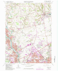
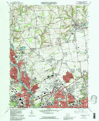
1964 Map of Catasauqua
USGS Topo · Published 1984About this map
The Lehigh River flows through a landscape of heavy industrial growth and established residential centers during this mid-1960s survey, with updates reflecting the early 1980s expansion. The urban corridor stretching from North Catasauqua through Catasauqua and into Fullerton shows a dense network of churches and schools, such as St Lawrence Sch and Lady of Hungary Sch, anchoring these communities. To the east, the emergence of the Lehigh Valley Industrial Park and the large footprint of the Allentown-Bethlehem-Easton Airport indicate the shifting economic base toward transportation and manufacturing.
Find a feature on this map
109 named features on this map. Tap any name to fly to it.
Don’t see what you’re looking for? This feature index may not catch every label — zoom into the map to look around manually.
Map Details
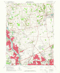
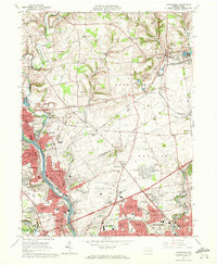
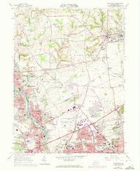
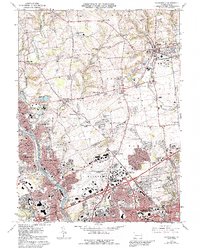
Editions of this 1964 Catasauqua Map
6 editions found
Other maps of this area

1894 · Allentown
USGS Topo · 1:62,500

1902 · Slatington
USGS Topo · 1:62,500

1914 · Wind Gap
USGS Topo · 1:62,500

1916 · Wind Gap
USGS Topo · 1:62,500

1922 · Mauch Chunk
USGS Topo · 1:62,500

1924 · Mauch Chunk
USGS Topo · 1:62,500

1937 · Allentown West
USGS Topo · 1:48,000

1939 · Allentown
USGS Topo · 1:62,500

1942 · Allentown West
USGS Topo · 1:62,500

1943 · Mauch Chunk
USGS Topo · 1:62,500