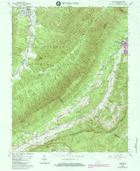
1963 Map of Catawba
USGS Topo · Published 1984About this map
Catawba Hospital sits at the base of Catawba Mountain, anchoring a landscape where the rugged ridges of the Jefferson National Forest meet the valley floors of the Blue Ridge. This 1963 survey, updated in the early 1980s, captures the convergence of Craig, Botetourt, and Roanoke counties. The Appalachian Trail snakes along the high ground, passing the iconic McAfee Knob and Tinker Mountain, while the valley below supports the small communities of Catawba and Mason Cove.
Find a feature on this map
41 named features on this map. Tap any name to fly to it.
Don’t see what you’re looking for? This feature index may not catch every label — zoom into the map to look around manually.
Map Details
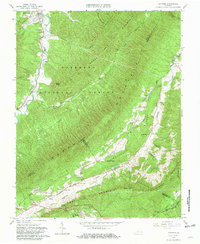
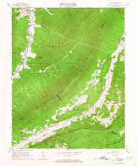
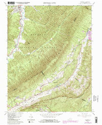
Editions of this 1963 Catawba Map
4 editions found
Other maps of this area

1887 · Lewisburg
USGS Topo · 1:125,000

1890 · Roanoke
USGS Topo · 1:125,000

1890 · Christiansburg
USGS Topo · 1:125,000

1891 · Roanoke
USGS Topo · 1:125,000

1891 · Lewisburg
USGS Topo · 1:125,000

1894 · Natural Bridge
USGS Topo · 1:125,000

1913 · Eagle Rock
USGS Topo · 1:48,000

1915 · Eagle Rock
USGS Topo · 1:62,500

1929 · Roanoke
USGS Topo · 1:48,000

1929 · Salem
USGS Topo · 1:48,000