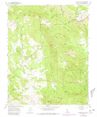
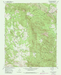
1962 Map of Catheys Valley
USGS Topo · Published 1981About this map
Catheys Valley serves as the central hub of this Mariposa County landscape, where the Sierra Nevada foothills meet agricultural valley floors. The settlement pattern reveals a transition from historic mining sites like Agua Fria and Carson to established ranching and local community infrastructure, including the Catheys Valley School and Catheys Valley Cemetery. To the east, the Guadalupe Mountains rise sharply, dotted with historical resource extraction markers such as a Quarry, several Kilns, and the Francis Mine. This 1962 survey, updated with 1978 aerial data, preserves the locations of early outposts like Savages Trading Post and Stonehouse, alongside the rugged drainage systems of Owens Creek and Mariposa Creek. The inclusion of the Guadalupe Lookout and numerous springs suggests a landscape carefully managed for both fire observation and water resources during the mid-twentieth century.
Find a feature on this map
64 named features on this map. Tap any name to fly to it.
Don’t see what you’re looking for? This feature index may not catch every label — zoom into the map to look around manually.
Map Details
Editions of this 1962 Catheys Valley Map
5 editions found
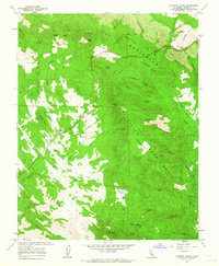
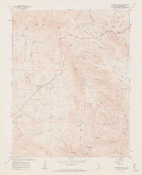
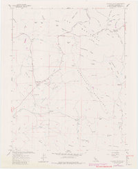
Other maps of this area

1893 · Sonora
USGS Topo · 1:125,000

1896 · Sonora
USGS Topo · 1:125,000

1897 · Sonora
USGS Topo · 1:125,000

1897 · Yosemite
USGS Topo · 1:125,000

1898 · Sonora
USGS Topo · 1:125,000

1900 · Yosemite
USGS Topo · 1:125,000

1903 · Yosemite
USGS Topo · 1:125,000

1909 · Yosemite
USGS Topo · 1:125,000

1912 · Mariposa
USGS Topo · 1:125,000

1915 · Owens Creek
USGS Topo · 1:31,680