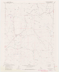
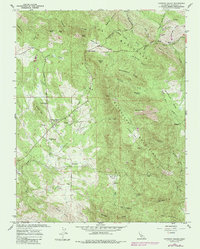
1962 Map of Catheys Valley
USGS Topo · Published 1981About this map
Catheys Valley serves as the focal point of this Mariposa County landscape, where the settlement’s civic life is anchored by the Catheys Valley Sch and Catheys Valley Cem. The map reveals a transition from valley ranching to more complex terrain, bounded by the Guadalupe Mountains and the prominent Catheys Mtn. This document captures the region after its early mining heyday, though the legacy of extraction remains visible through features like the Francis Mine, the Moore Hill Mine, and several kilns scattered near the Guadalupe Creek.
Find a feature on this map
58 named features on this map. Tap any name to fly to it.
Don’t see what you’re looking for? This feature index may not catch every label — zoom into the map to look around manually.
Map Details
Editions of this 1962 Catheys Valley Map
5 editions found
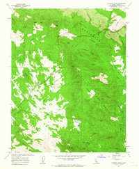
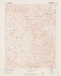
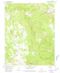
Other maps of this area

1893 · Sonora
USGS Topo · 1:125,000

1896 · Sonora
USGS Topo · 1:125,000

1897 · Sonora
USGS Topo · 1:125,000

1897 · Yosemite
USGS Topo · 1:125,000

1898 · Sonora
USGS Topo · 1:125,000

1900 · Yosemite
USGS Topo · 1:125,000

1903 · Yosemite
USGS Topo · 1:125,000

1909 · Yosemite
USGS Topo · 1:125,000

1912 · Mariposa
USGS Topo · 1:125,000

1915 · Owens Creek
USGS Topo · 1:31,680