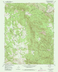
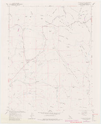
1962 Map of Catheys Valley
USGS Topo · Published 1985About this map
Catheys Valley serves as the focal point of this landscape, nestled below the Guadalupe Mountains in the foothills of Mariposa County. The settlement patterns recorded here in 1962 reflect a transition from early pioneer outposts to established ranching communities, anchored by the Catheys Valley Sch and the Catheys Valley Cem. Historical depth is evident in the identification of the Agua Fria (Site) and Carson (Site), marking the locations of earlier boom-era mining settlements that had already faded by the time of this survey.
Find a feature on this map
57 named features on this map. Tap any name to fly to it.
Don’t see what you’re looking for? This feature index may not catch every label — zoom into the map to look around manually.
Map Details
Editions of this 1962 Catheys Valley Map
5 editions found
Other maps of this area

1893 · Sonora
USGS Topo · 1:125,000

1896 · Sonora
USGS Topo · 1:125,000

1897 · Sonora
USGS Topo · 1:125,000

1897 · Yosemite
USGS Topo · 1:125,000

1898 · Sonora
USGS Topo · 1:125,000

1900 · Yosemite
USGS Topo · 1:125,000

1903 · Yosemite
USGS Topo · 1:125,000

1909 · Yosemite
USGS Topo · 1:125,000

1912 · Mariposa
USGS Topo · 1:125,000

1915 · Owens Creek
USGS Topo · 1:31,680