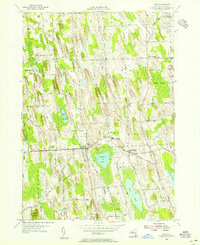
1954 Map of Cato
USGS Topo · Published 1955About this map
Cato and Meridian anchor this mid-century portrait of northern Cayuga County, where the landscape is defined by the striking glacial drumlins of the Finger Lakes region. The map captures a transition in local education with the centralizing presence of the Cato-Meridian Central School, positioned between the two primary villages. Outside the town centers, the terrain is a grid of agricultural life, dotted with longstanding rural intersections like Bethel Corners, Ira Corners, and Benton Corners. Significant water bodies including Parker Pond and the northern reaches of Otter Lake break the rhythmic pattern of the hills, while Muskrat Creek winds through the southern lowlands. For genealogists and local historians, the document preserves the mid-1950s road network, including family-named routes like Brandt Road and Veley Road, and provides the location of the White Cem near the northeastern boundary.
Find a feature on this map
71 named features on this map. Tap any name to fly to it.
Don’t see what you’re looking for? This feature index may not catch every label — zoom into the map to look around manually.
Map Details
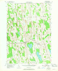
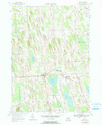
Editions of this 1954 Cato Map
3 editions found
Other maps of this area

1900 · Baldwinsville
USGS Topo · 1:62,500

1900 · Oswego
USGS Topo · 1:62,500

1900 · Fulton
USGS Topo · 1:62,500

1902 · Weedsport
USGS Topo · 1:62,500

1943 · Jordan
USGS Topo · 1:31,680

1943 · Lysander
USGS Topo · 1:31,680

1943 · Montezuma
USGS Topo · 1:31,680

1943 · Cato
USGS Topo · 1:31,680

1943 · Hannibal
USGS Topo · 1:31,680

1943 · Weedsport
USGS Topo · 1:31,680