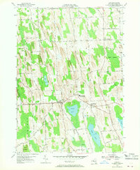
1954 Map of Cato
USGS Topo · Published 1968About this map
Glacial drumlins dictate the rural layout of Cayuga County in the mid-1950s, where clusters of homes and family farms gather at crossroads like Ira Corners, Bethel Corners, and Benton Corners. The twin villages of Cato and Meridian serve as the primary hubs of this landscape, connected by the Cato-Meridian Central School and a local Golf Course. To the south, the terrain softens into the lowlands surrounding Parker Pond and the extensive waters of Otter Lake. The northeastern corner is defined by the marshy expanse of Beaver Meadows and the winding course of Ninemile Creek. Genealogists will find interest in the documented rural burials at White Cem and other local plots, while the dense network of named family roads—including Baldwin Road, Kells Rd, and Humphrey Road—reveals the long-standing landownership patterns of this agricultural region.
Find a feature on this map
76 named features on this map. Tap any name to fly to it.
Don’t see what you’re looking for? This feature index may not catch every label — zoom into the map to look around manually.
Map Details
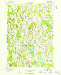
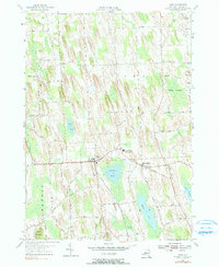
Editions of this 1954 Cato Map
3 editions found
Other maps of this area

1900 · Baldwinsville
USGS Topo · 1:62,500

1900 · Oswego
USGS Topo · 1:62,500

1900 · Fulton
USGS Topo · 1:62,500

1902 · Weedsport
USGS Topo · 1:62,500

1943 · Jordan
USGS Topo · 1:31,680

1943 · Lysander
USGS Topo · 1:31,680

1943 · Montezuma
USGS Topo · 1:31,680

1943 · Cato
USGS Topo · 1:31,680

1943 · Hannibal
USGS Topo · 1:31,680

1943 · Weedsport
USGS Topo · 1:31,680