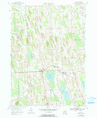
1954 Map of Cato
USGS Topo · Published 1990About this map
Drumlin formations dominate this Cayuga County landscape, creating a distinct north-south orientation for the area's roads and drainage patterns in the mid-1950s. The villages of Cato and Meridian serve as the primary hubs of activity, linked by the Cato-Meridian Central School. This central corridor is defined by numerous small water bodies including Parker Pond and Otter Lake, which are hemmed in by the elongated glacial hills. The township boundaries of Victory, Ira, and Lysander meet in this region, where rural life is anchored by family-named crossroads such as Ira Corners, Bethel Corners, and the curiously named K Cat Corners. The presence of the White Cem and other burial grounds provides vital data points for genealogists tracing families in the townships surrounding Muskrat Creek.
Find a feature on this map
49 named features on this map. Tap any name to fly to it.
Don’t see what you’re looking for? This feature index may not catch every label — zoom into the map to look around manually.
Map Details
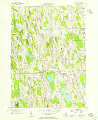
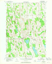
Editions of this 1954 Cato Map
3 editions found
Other maps of this area

1900 · Baldwinsville
USGS Topo · 1:62,500

1900 · Oswego
USGS Topo · 1:62,500

1900 · Fulton
USGS Topo · 1:62,500

1902 · Weedsport
USGS Topo · 1:62,500

1943 · Jordan
USGS Topo · 1:31,680

1943 · Lysander
USGS Topo · 1:31,680

1943 · Montezuma
USGS Topo · 1:31,680

1943 · Cato
USGS Topo · 1:31,680

1943 · Hannibal
USGS Topo · 1:31,680

1943 · Weedsport
USGS Topo · 1:31,680