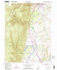
1953 Map of Catoctin Furnace
USGS Topo · Published 1985About this map
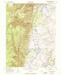
Catoctin Furnace serves as a historic anchor for this landscape, reflecting the industrial heritage of the Catoctin Mountain Park region. The mapping details a transition from the wooded elevations of the City of Frederick Municipal Forest to the productive valley floor. Notable water management is visible through the Fishing Creek Reservoir and the Lewistown State Fish Hatchery, while the Western Maryland railroad corridor connects small stops like Red Hill Sta and Mountaindale Sta. The map captures the social infrastructure of the mid-century, documenting country congregations at Union Chapel and Mt Prospect Ch, alongside landmarks like the Hamburg Lookout Tower and Foxville Lookout Tower that overlook the steep ridges of Bobs Hill and Black Rock.
Find a feature on this map
54 named features on this map. Tap any name to fly to it.
Don’t see what you’re looking for? This feature index may not catch every label — zoom into the map to look around manually.
Map Details
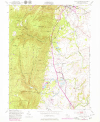
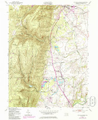
Editions of this 1953 Catoctin Furnace Map
7 editions found
Other maps of this area

1884 · Harpers Ferry
USGS Topo · 1:125,000

1891 · Harpers Ferry
USGS Topo · 1:125,000

1893 · Frederick
USGS Topo · 1:125,000

1893 · Harpers Ferry
USGS Topo · 1:125,000

1894 · Frederick
USGS Topo · 1:125,000

1908 · Middletown
USGS Topo · 1:48,000

1908 · Ijamsville
USGS Topo · 1:62,500

1909 · Ijamsville
USGS Topo · 1:62,500

1909 · Hagerstown
USGS Topo · 1:48,000

1910 · Antietam
USGS Topo · 1:62,500