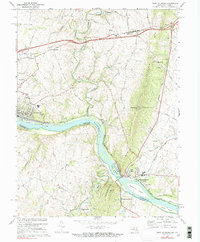
1970 Map of Point Of Rocks
USGS Topo · Published 1991About this map
Potomac River waters divide Maryland and Virginia as they flow past the prominent ridge of Catoctin Mtn and Furnace Mtn. This landscape is defined by the narrow corridor where the Baltimore and Ohio Railroad and the Chesapeake and Ohio Canal parallel the river, converging at Washington Junction near the town of Point of Rocks. The settlement pattern reflects an established agricultural and rail-oriented economy, from the rail hub of Brunswick to smaller communities like Petersville and Slabtown. Local history is preserved in rural landmarks such as Valley Sch, Bells Mill, and several crossroads houses of worship including St Marks Ch and Union Bethel Ch. To the south in Virginia, the terrain remains largely rural around Taylorstown, while the Maryland side shows the prominence of early infrastructure like the Old Railroad Grade and the historic canal lock near Lander.
Find a feature on this map
59 named features on this map. Tap any name to fly to it.
Don’t see what you’re looking for? This feature index may not catch every label — zoom into the map to look around manually.
Map Details
Editions of this 1970 Point Of Rocks Map
2 editions found
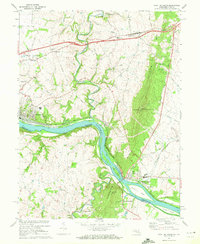
Other maps of this area

1884 · Harpers Ferry
USGS Topo · 1:125,000

1891 · Harpers Ferry
USGS Topo · 1:125,000

1893 · Frederick
USGS Topo · 1:125,000

1893 · Harpers Ferry
USGS Topo · 1:125,000

1894 · Frederick
USGS Topo · 1:125,000

1908 · Middletown
USGS Topo · 1:48,000

1908 · Seneca
USGS Topo · 1:62,500

1908 · Ijamsville
USGS Topo · 1:62,500

1909 · Ijamsville
USGS Topo · 1:62,500

1910 · Antietam
USGS Topo · 1:62,500